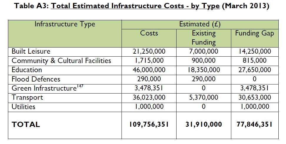
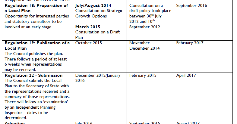
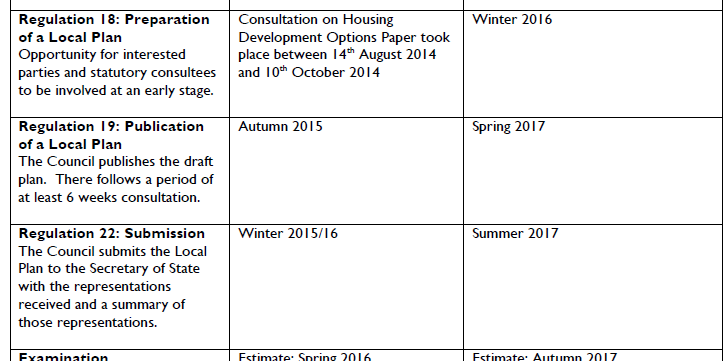
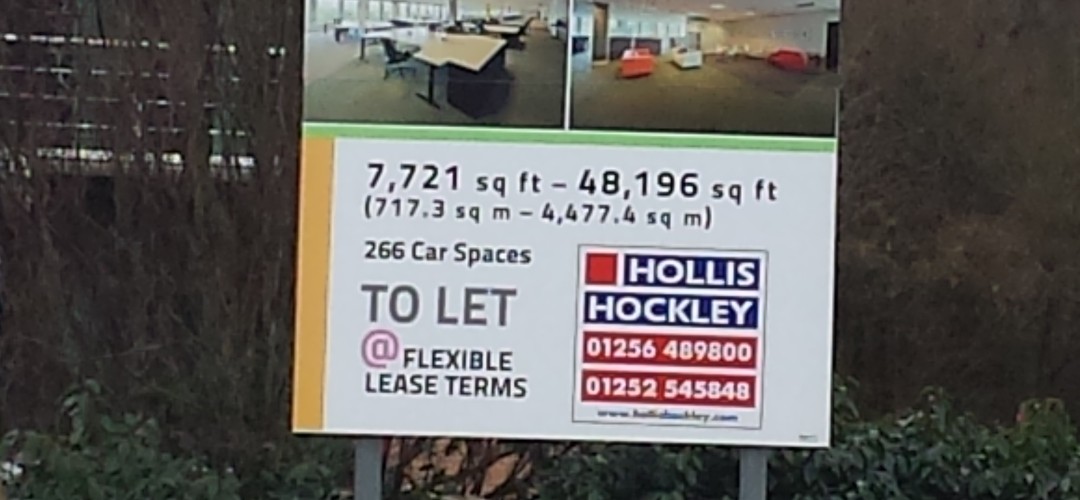
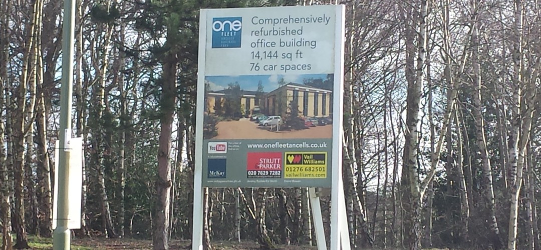
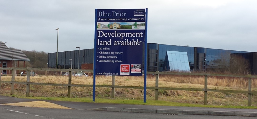
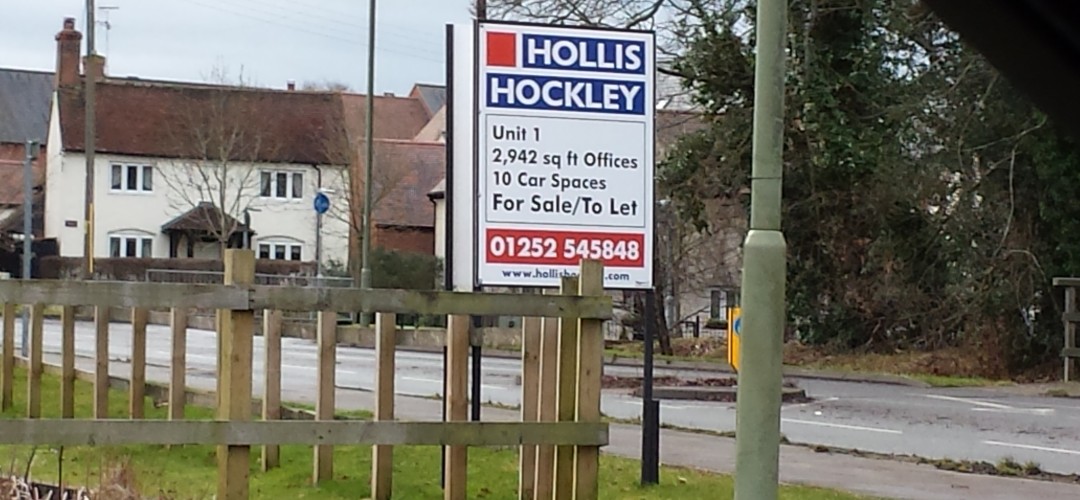
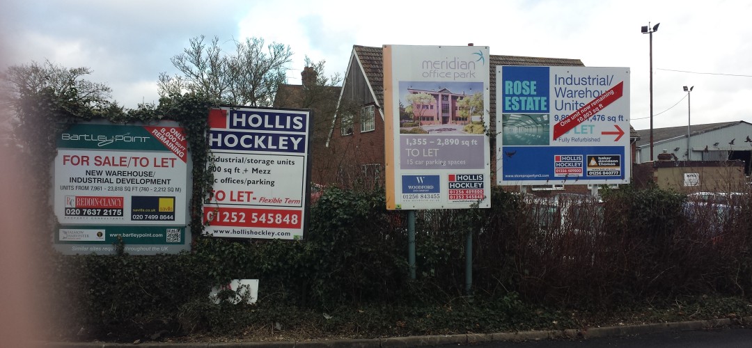
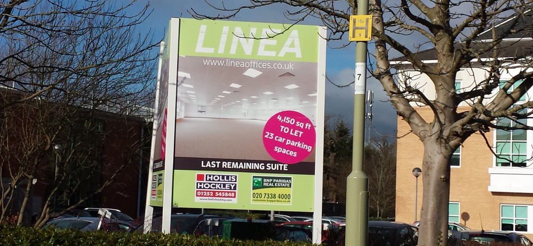
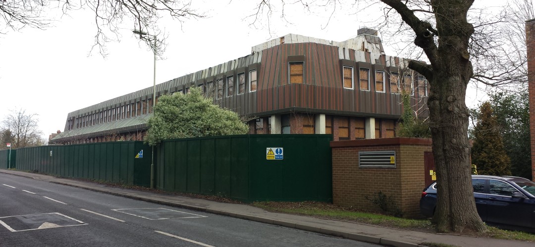
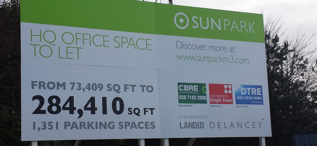
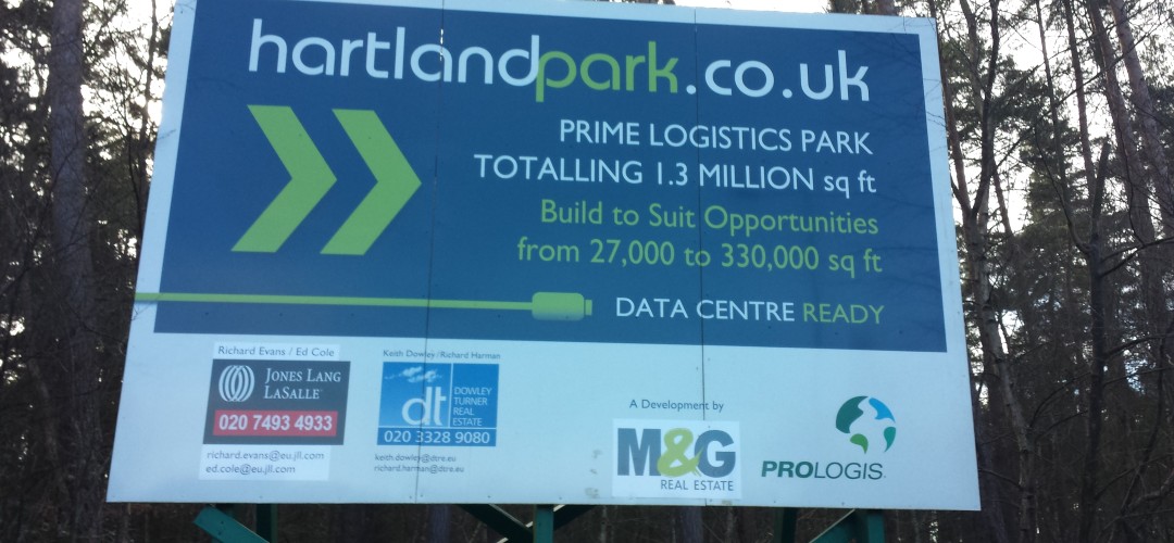
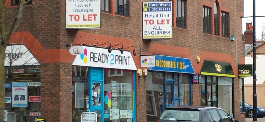
We Heart Hart asked Hart District Council for an analysis of the brownfield sites that are available under FOI. The results from this request are quite shocking and reveal a startling lack of focus on brownfield development. Hart’s assertion was that there was space for only around 700 houses on brownfield sites. According to their data, at first glance this appears to be true. However, it appears as though a large number of the vacant brownfield sites identified by Bravehart on his tour do not even appear in the Hart District Council analysis. There must be space for thousands more dwellings on these sites such as the vacant office buildings at Ancells Farm and in Hook and Hartland Park (Pyestock). Sun Park is on their map, but not in the analysis. Given undoubted difficulties facing all of us in Hart in building the >7,500 houses being forced upon us by the central Government mandated NPPF, it is shocking that Hart doesn’t seem to have a discernible brownfield strategy.
If you would like to join us to ask Hart to think again try harder to find brownfield development land and build on that in preference to concreting over our green spaces, please sign the We Love Hart petition.
Interestingly, the Government is planning to introduce legislation to penalise councils that under-perform on brownfield development. Under these plans, Councils would be required to publish data about available brownfield land on their websites in a standardised form, enabling individuals and groups to “assess and, if necessary, challenge the inclusion or exclusion of particular sites as brownfield land suitable for housing”. Whilst of course, these rules have not come into force, it seems Hart does have a way to go to comply with the forthcoming rules.
Our analysis of the data supplied showed:
- No systematic way if identifying brownfield sites: there is no tag on any of the data to separate brownfield sites from other sites.
- Significant inconsistencies in their data such as sites being in their analysis spreadsheet that are not on the SHLAA map (e.g. Sites SHL319 and 321).
- Sites recorded on the SHLAA map (e.g. SHL100) in one place (Sun Park) and recorded in their analysis as completely different places (Hartfordbridge).
- Significant discrepancies between the detailed sheets and the summary of those detailed sheets. For instance, Part 1, shows a total housing availability of between 612 and 701 houses, but on the summary sheet this shows as between 463 and 648. Similar discrepancies exist throughout the spreadsheet.
It is time for Hart to focus more on identifying brownfield sites and applying pressure to get them made available. Surely, higher density development on these sites is far preferable to sacrificing our green spaces and putting at risk the very things that make Hart such a great place to live.
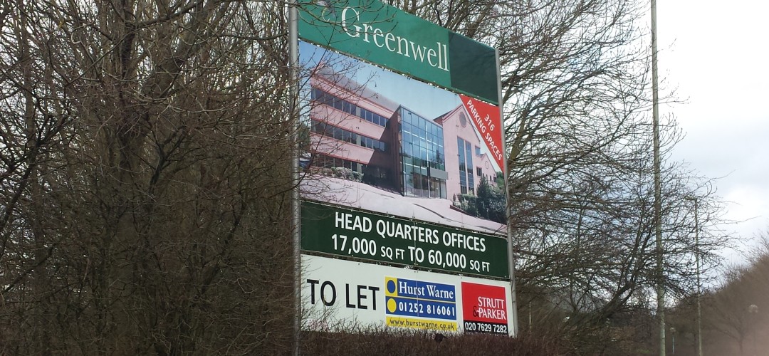
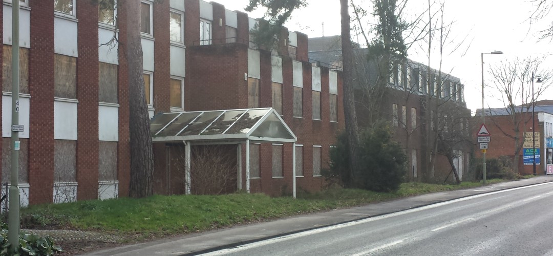
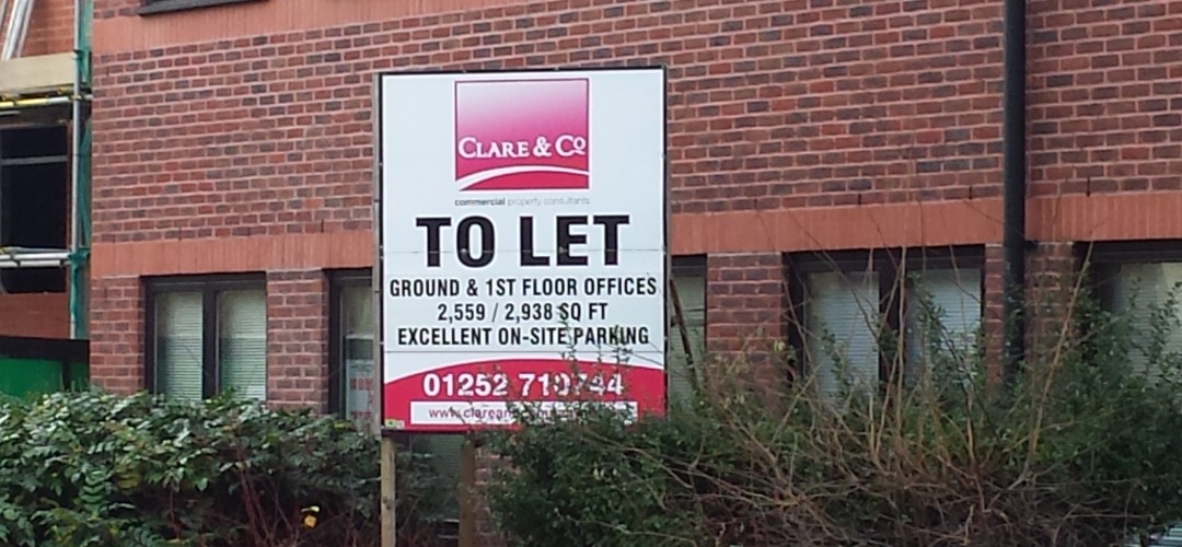
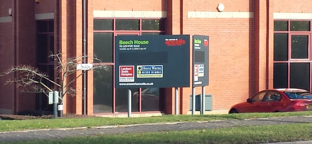
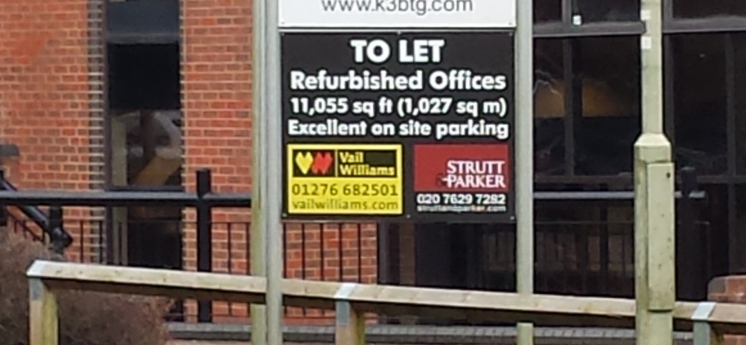
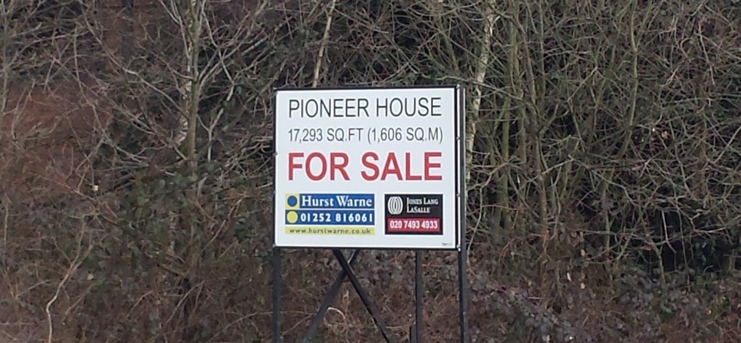
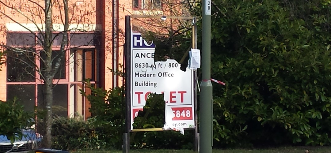
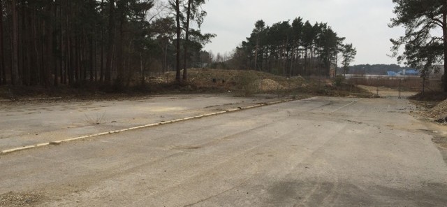
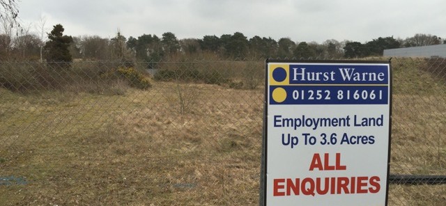
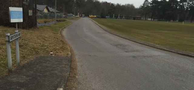
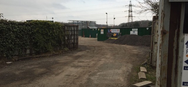
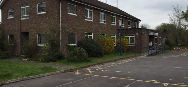
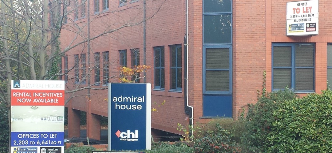
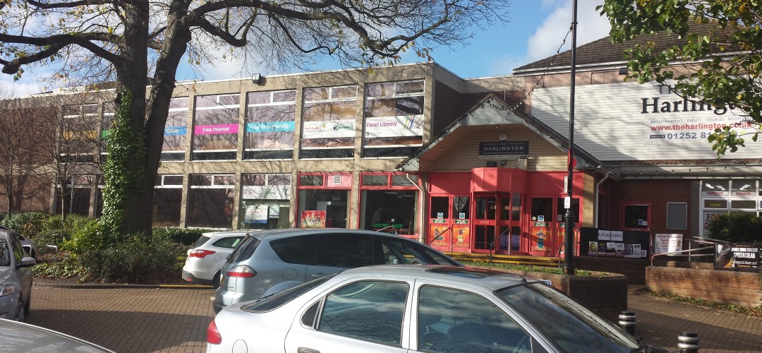
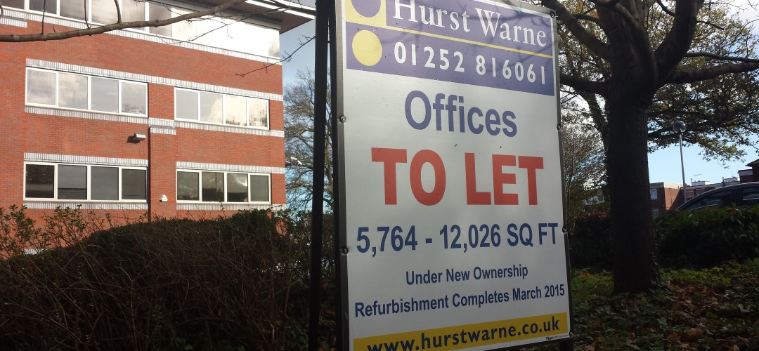
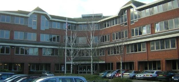
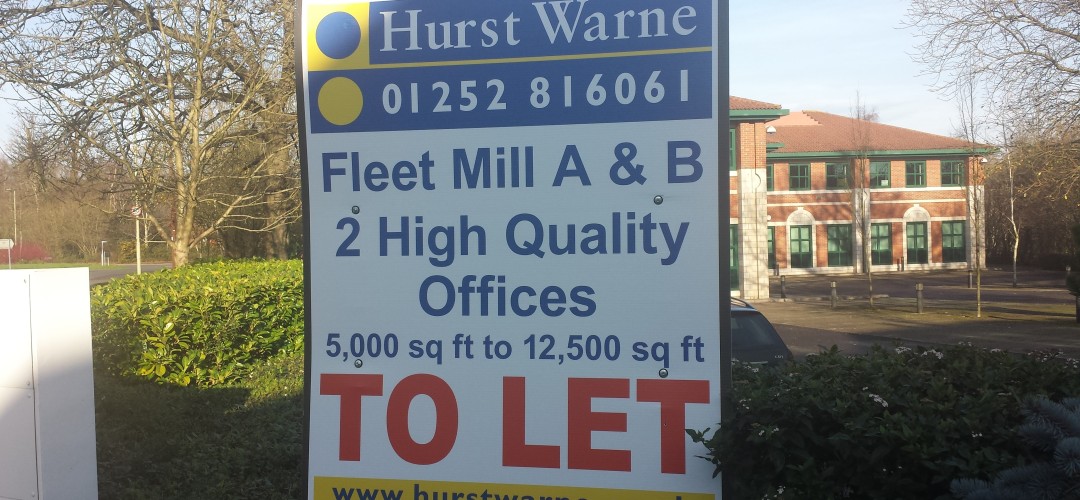
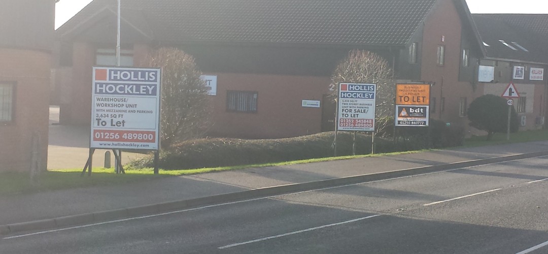
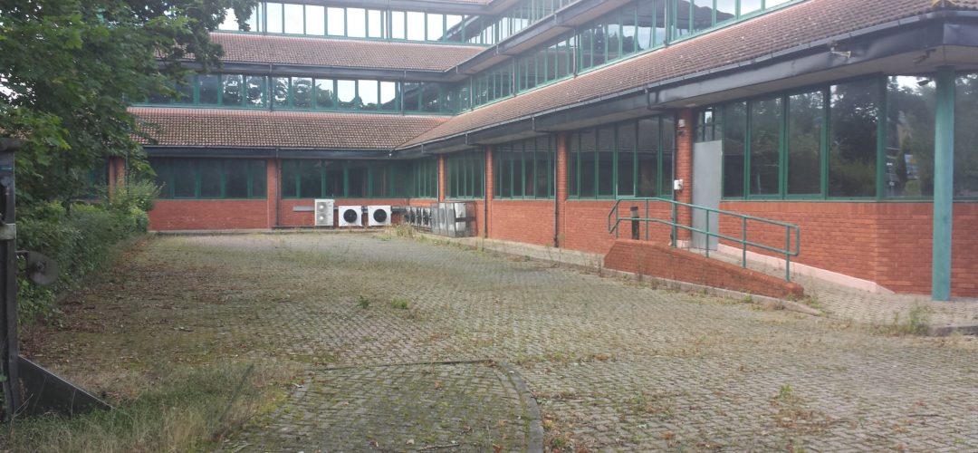
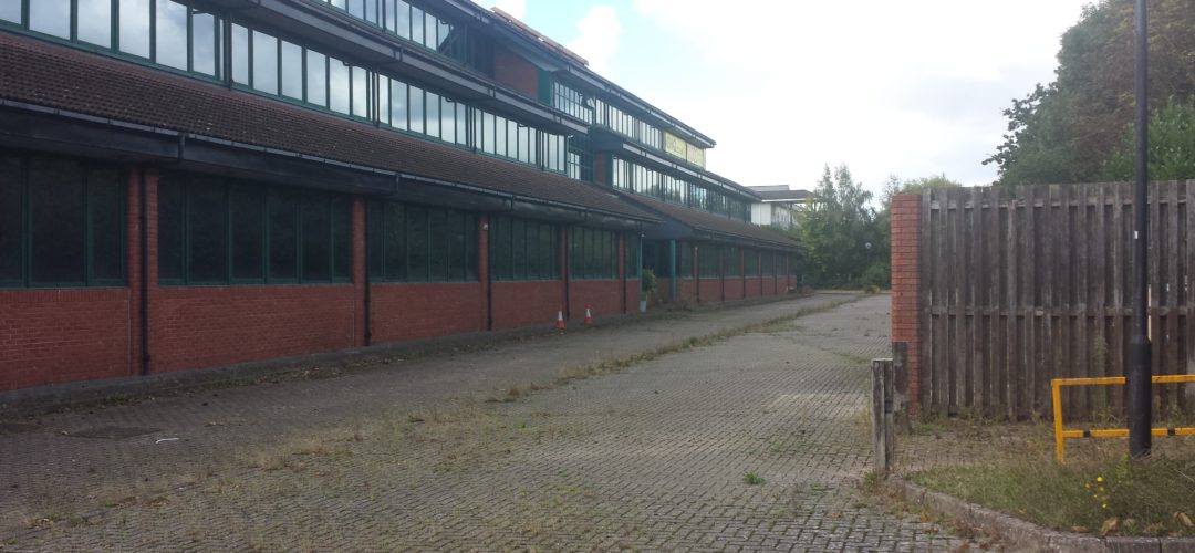
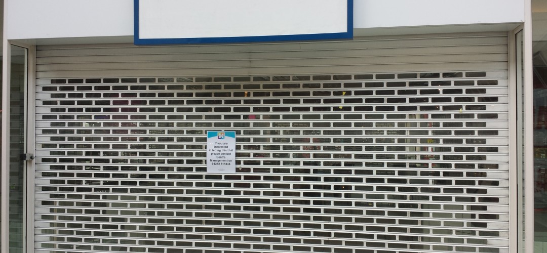
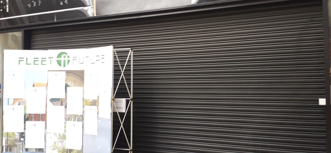
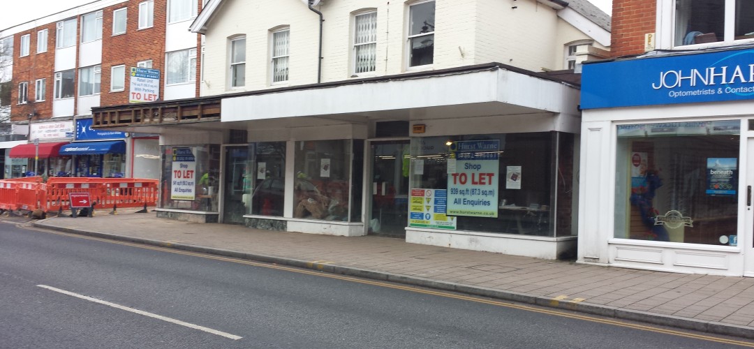
Images of brownfield sites in the district below:
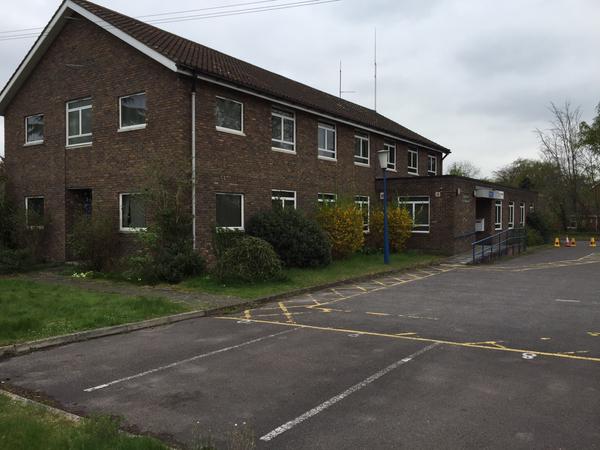
Old Police Station in Fleet, Hampshire
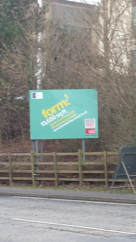
Vacant office in Hook, Hampshire
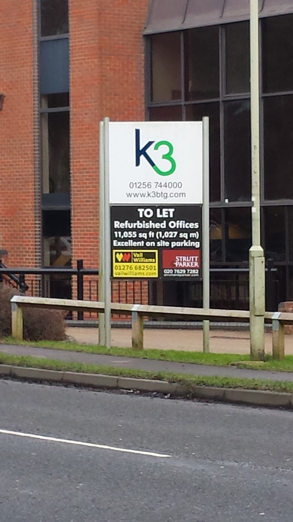
Vacant office in Hook, Hampshire
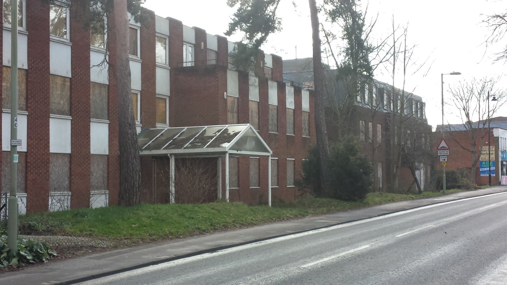
Derelict Offices in Fleet, Hampshire
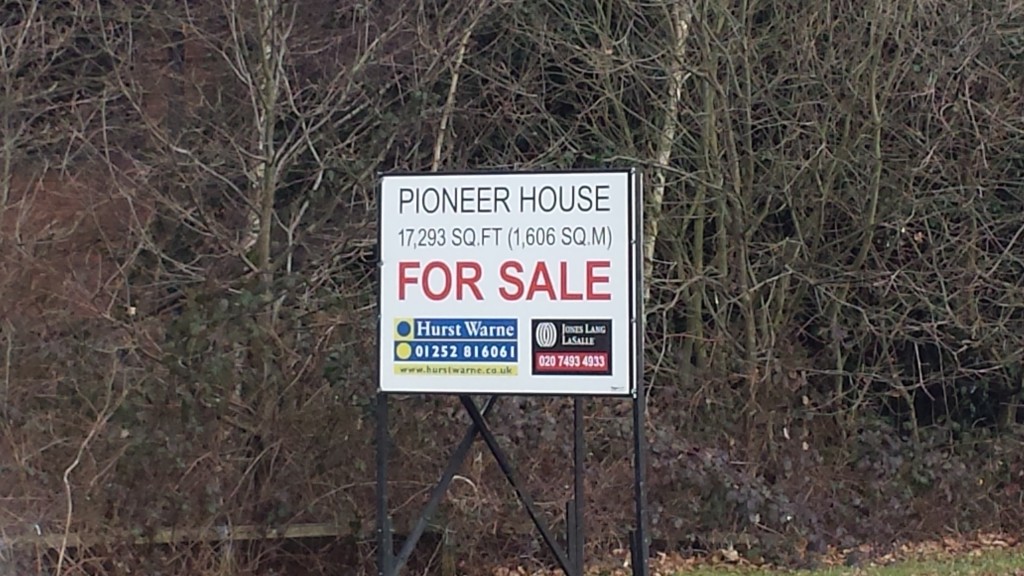
Vacant Block at Ancells Farm, Fleet, Hart District, Hampshire
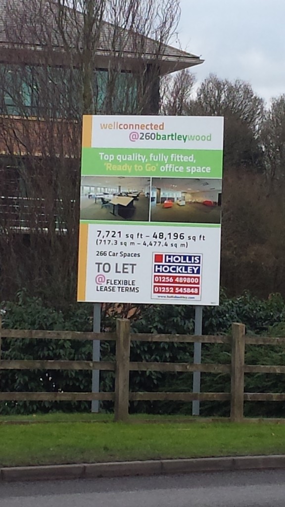
Bartley Wood Estate in Hook
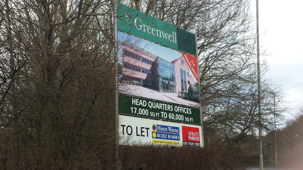
Bartley Wood Estate in Hook
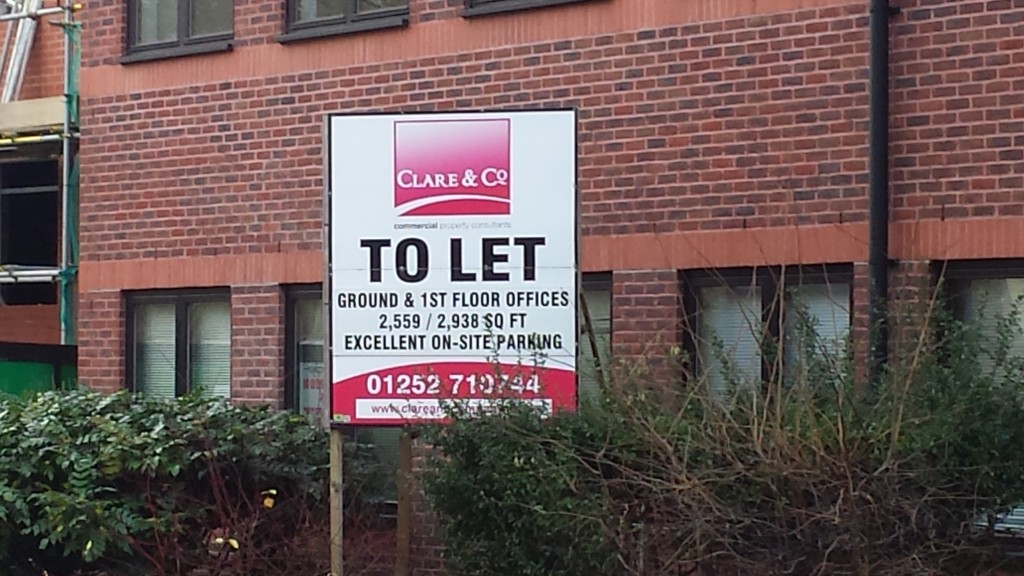
Vacant Office in Fleet, Hampshire
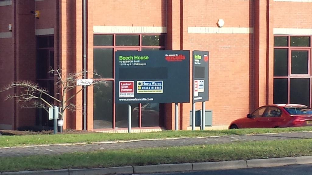
Vacant Block at Ancells Farm, Fleet, Hampshire
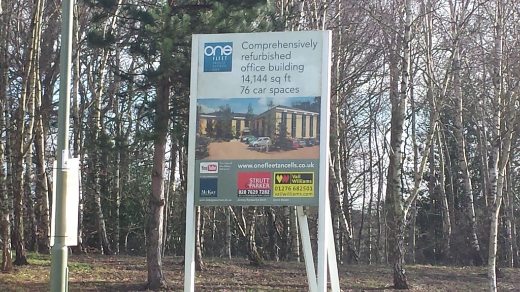
Vacant Block at Ancells Farm, Fleet, Hampshire
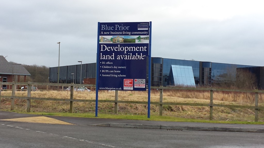
Development Land in Fleet / Church Crookham, Hart District, Hampshire
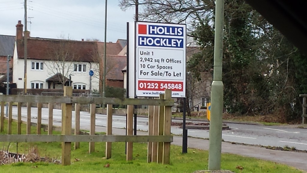
Vacant Block in Fleet / Church Crookham, Hart District, Hampshire
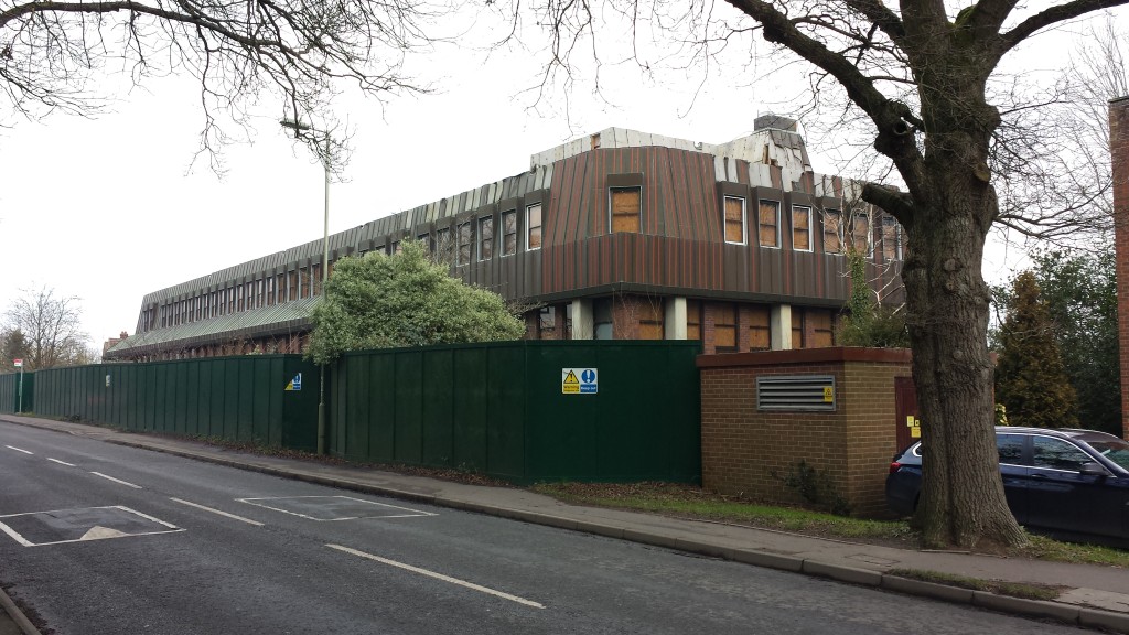
Vacant, derelict block in Hook, Hampshire
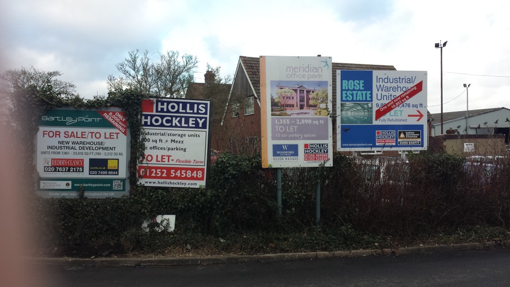
Vacant offices in Hook, Hampshire

Vacant block at Ancells Farm, Fleet
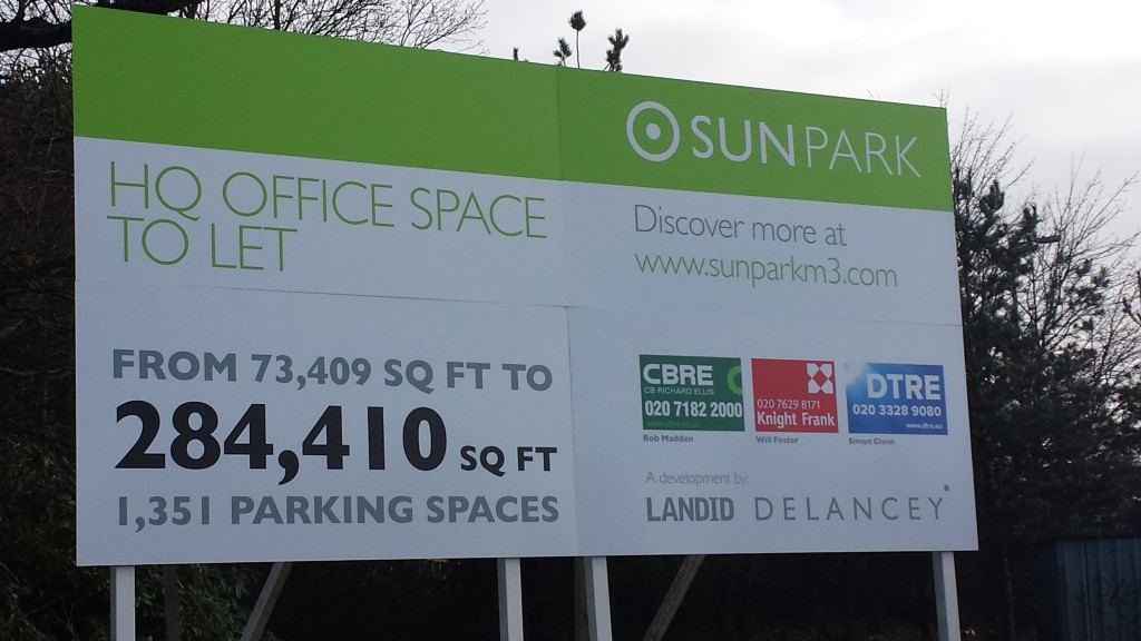
Vacant Sun Park block near J4A of M3, Hart District, Hampshire
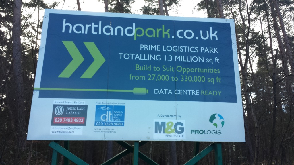
Hartland Park near Fleet, Hart District, Hampshire, warehouse development not started
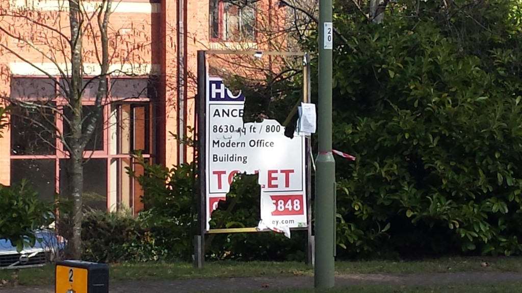
Vacant Office at Ancells Farm, Fleet
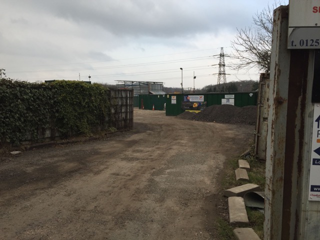
Brownfield site near Crondall, Hart District, Hampshire
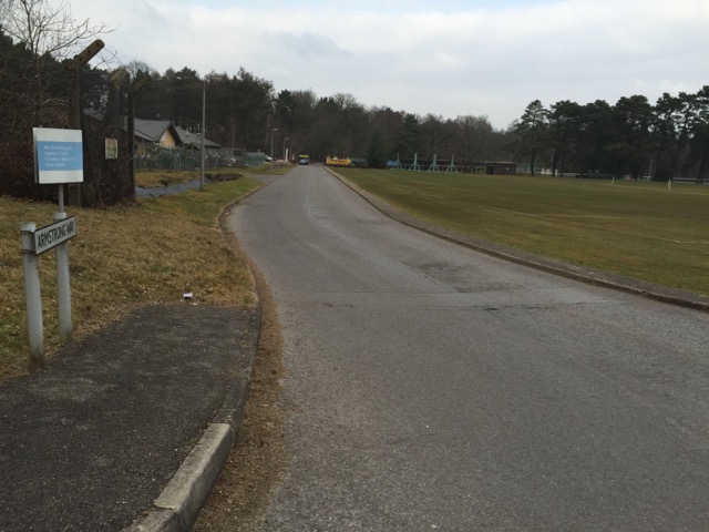
Brownfield site at Hartland Park, Pyestock, Hart District, Hampshire
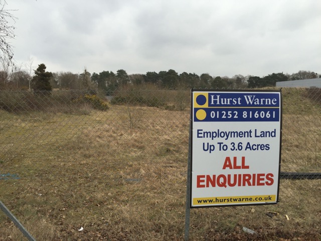
Development site near Tweseldown, near Fleet/ Church Crookham, Hart District, Hampshire
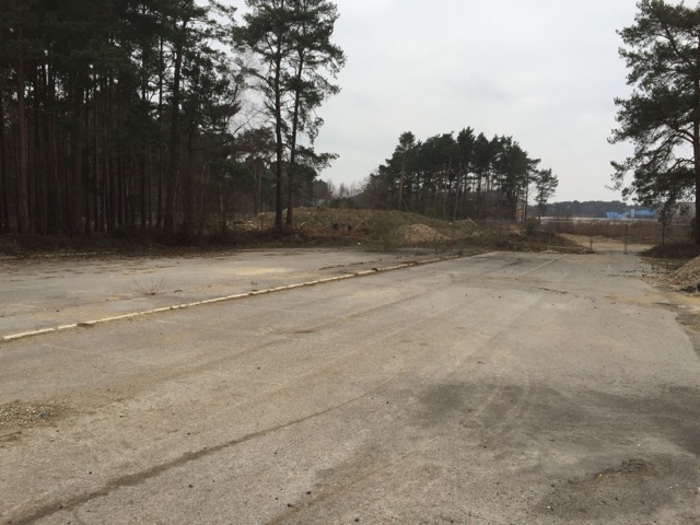
Brownfield site at Pyestock, near, Fleet, Hart District, Hampshire
