Michael Gove Shakes Up Planning Rules
Michael Gove has sent a letter to MPs announcing a major shake up of the planning rules. Some of the changes were also reported in the Telegraph (subscription may be required). On the face of it, the changes look positive for Hart and Hart residents. Of course, the devil is always in the detail, so we will have to remain vigilant. However, we are hopeful that these changes will finally kill off any idea that we need to build Shapley Heath. The changes are
- Central housing targets not mandatory
- Build less to take account of heritage restrictions and flood risk
- Not expected to build at densities out of character with existing areas
- Pursue gentle density in urban areas
- End obligation for 5-year land supply where plans are up to date
- Credit given for past over-supply
- Increase protections afforded by Neighbourhood Plans
- Brownfield first
Central Housing Targets Not Mandatory
According to Gove’s letter, central housing targets will become “an advisory starting point, a guide that is not mandatory”. “It will be up to local authorities, working with their communities, to determine how many homes can actually be built, taking into account what should be protected in each area – be that our precious Green Belt or national parks, the character of an area, or heritage assets.”
This means that for instance, we might be able to protect the Shapley Heath site because of its unique character and the heritage assets such as St. Mary’s Church.
Build less to take account of heritage restrictions and Flood Risk
Quoting from the letter: “Local planning authorities will be able to plan for fewer houses if building is constrained by important factors such as national parks, heritage restrictions, and areas of high flood risk.”
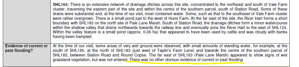
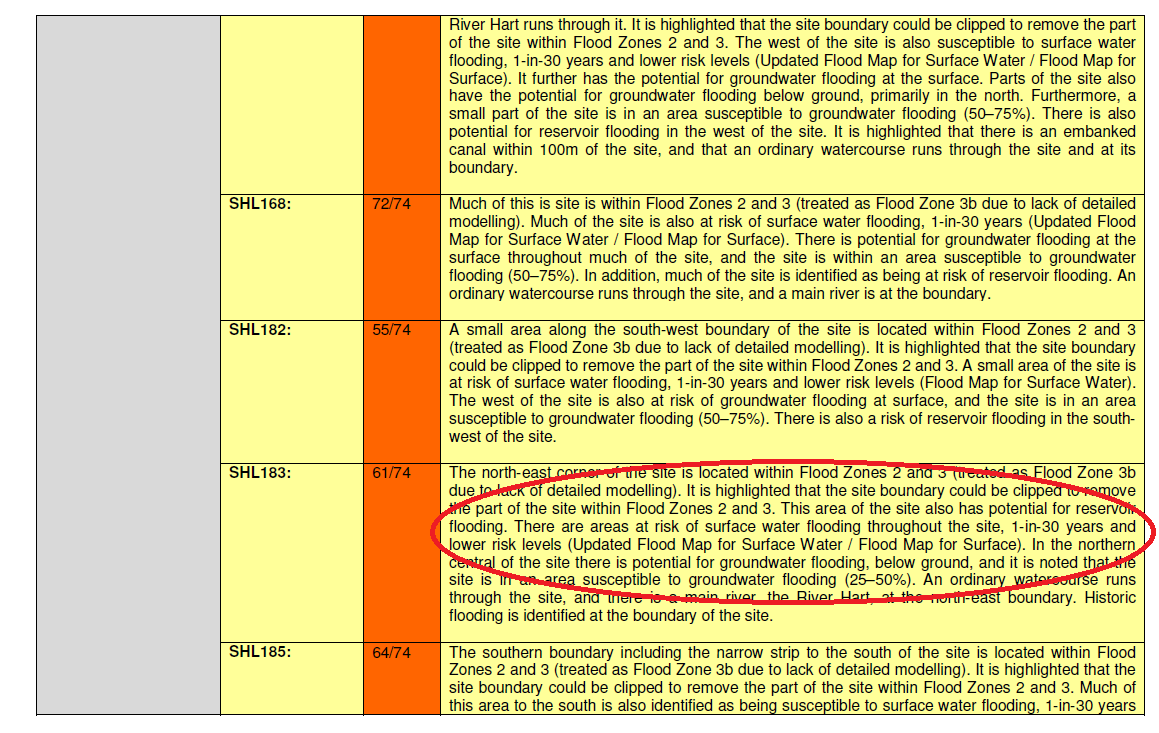
As mentioned above, there are heritage issues on the Shapley Heath site and of course high risk of flooding from surfacce water and groundwater across much of the site.
Not expected to build at densities out of character with existing areas
Again, according to the letter: “Local authorities will not be expected to build developments at densities that would be wholly out of character with existing areas or which would lead to a significant change of character.”
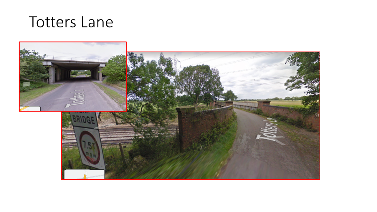
The area around Winchfield is very low density, which is part of its charm. Clearly a Garden Community of 5-10,000 houses would be out of character and change the character of the area irreparably.
Pursue gentle density in urban areas and Brownfield First
Michael Gove’s shake up of the planning rules also impacts urban areas. He says that “while more homes are needed in many existing urban areas, we must pursue ‘gentle densities’ as championed by the Building Better, Building Beautiful Commission.”
He also commits to a Brownfield First strategy: “The Government is investing to incentivise and enable brownfield development. Homes England, our housing delivery arm, is spending millions on acquiring sites in urban areas to regenerate for new housing. We are also allocating over £800m to mayoral and local authorities to unlock over 60,000 new homes on brownfield land, as part of our wider brownfield and infrastructure funding package.
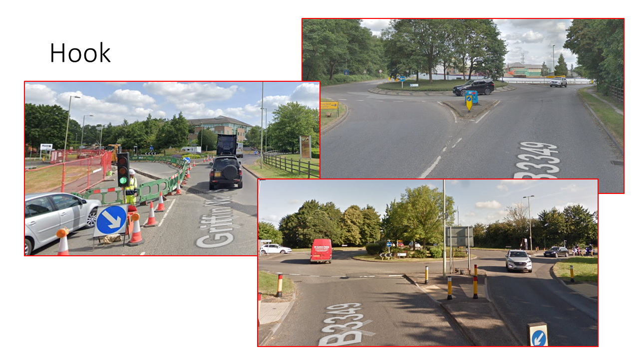
This should tilt the balance towards regeneration of urban centres in Hart such as Fleet, Blackwater, Yateley and Hook.
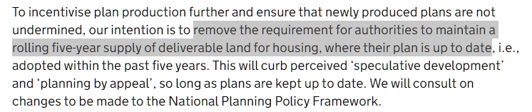
End obligation for 5-year land supply where plans are up to date
Gove also plans to end the obligation to have a rolling 5-year land supply. “We will end the obligation on local
authorities to maintain a rolling five-year supply of land for housing where their plans are up-to-date.”
Hart’s plan is up to date. Hart’s Local Plan is front-loaded, so we had a potential issue that we might have had to find additional sites towards the end of the plan period to maintain the 5-year land supply. It seems that this issue will be resolved, further weakening any case for building Shapley Heath.
Credit given for past over-supply
Michael Gove has also proposed giving credit for past over-supply of housing. “I want to recognise that some areas have historically overdelivered on housing – but they are not rewarded for this. My plan will therefore allow local planning authorities to take this into account when preparing a new local plan, lowering the number of houses they need to plan for.”
Hart has over-delivered on housing for a number of years. Some of this is taken into account in the 5-year land supply calculation. However, this change should allow Hart to reduce the housing requirement target in future years.
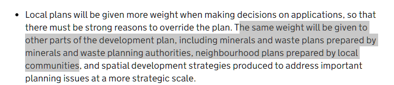
Increase protections afforded by Neighbourhood Plans
Finally, changes are proposed to increase the protections afforded by Neighbourhood Plans. “I will increase community protections afforded by a neighbourhood plan against developer appeals – increasing those protections from two years to five years. The power of local and neighbourhood plans will be enhanced by the Bill.”
Overall, we view these as positive changes for Hart as a whole.