Hart District Council gets its facts wrong on the Local Plan

Hart District Council Local Plan Update Spring-Summer 2015

Hart District Council Local Plan Update Spring-Summer 2015

Hart District Council has published an article in the latest copy of Hart News that gets its facts wrong on how many houses we have to build under the emerging Local Plan.

As can be seen from the above image, Hart Council is saying we only need to build 4,000 houses up to 2032.  However, this is in direct contradiction to the strategic housing market assessment and the evidence presented to Cabinet back in November 2014 that clearly states we need to build 7,534 houses in the period up to 2032.

Hart District Council Housing Requirement from Cabinet Meeting November 2014 or Local Plan; SHMA

Hart District Housing Requirement from Cabinet Meeting Nov 2014

Even 7,534 houses is probably an understatement, because Rushmoor Borough Council and Surrey Heath Borough Council have told Hart that they cannot build all of their allocation on their own patches and want Hart to build a further 3,100 houses for them.  This would give a total of 10,634 houses to be built in Hart up to 2032.

Hart District acts as sink for 3,100 houses from Surrey Heath and Rushmoor

Surrey Heath and Rushmoor Housing Shortfall

Hart’s strategy of building a new settlement (option 4) in Winchfield creates additional capacity that makes it much more likely that we will have to take these additional houses.

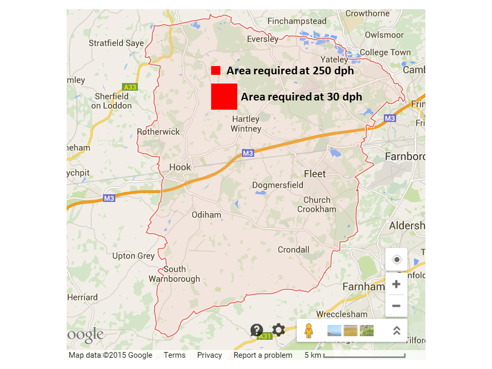
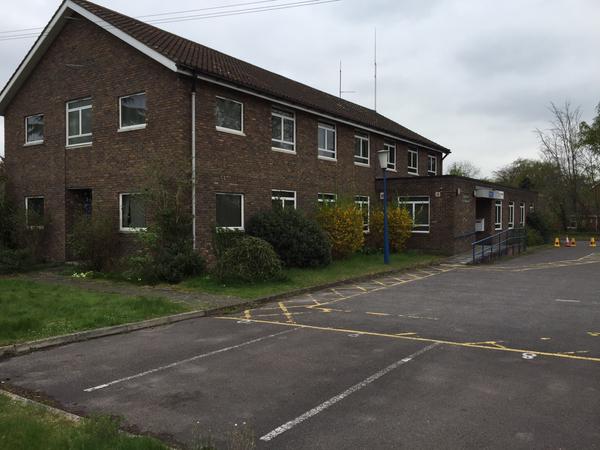
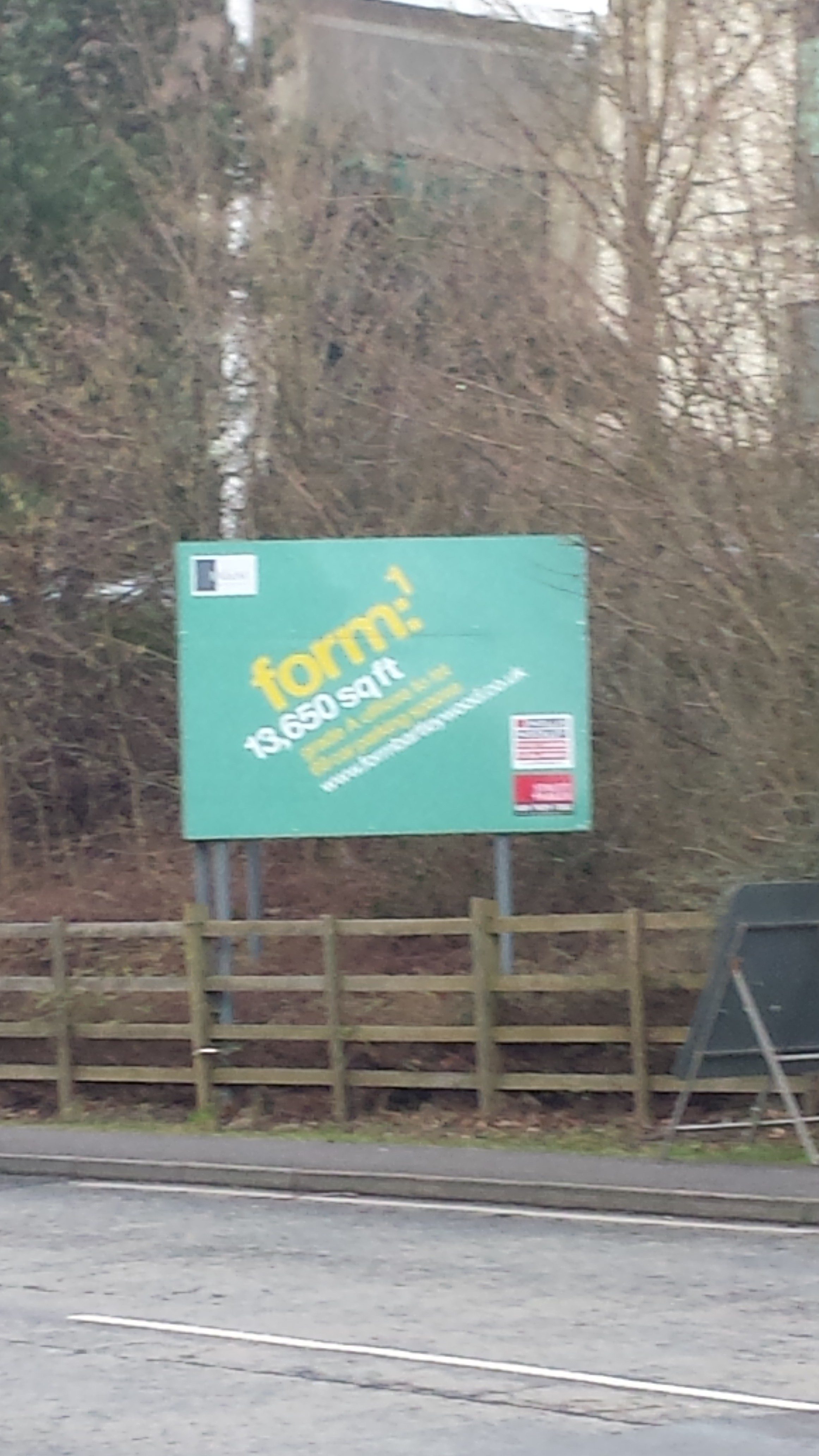
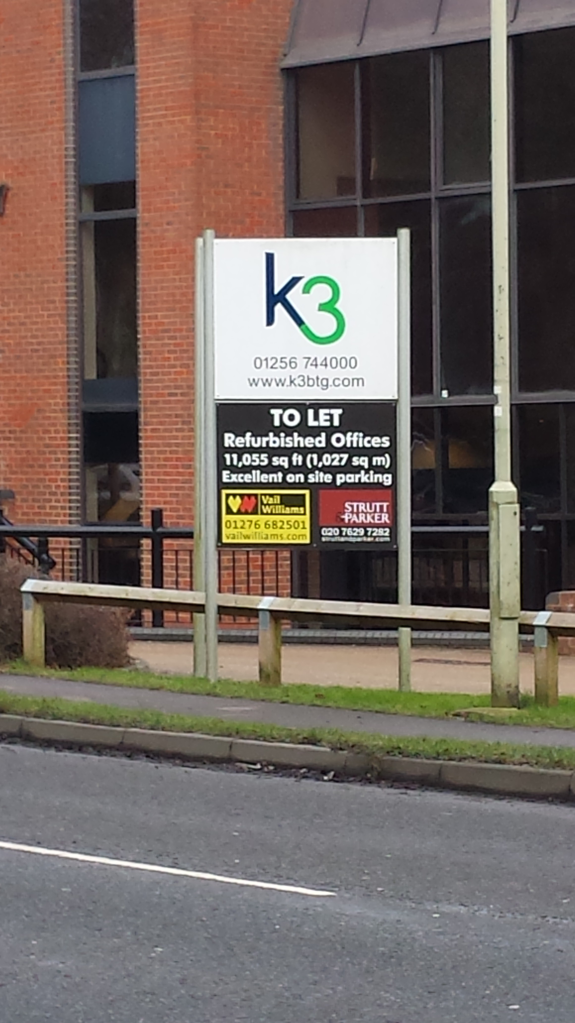
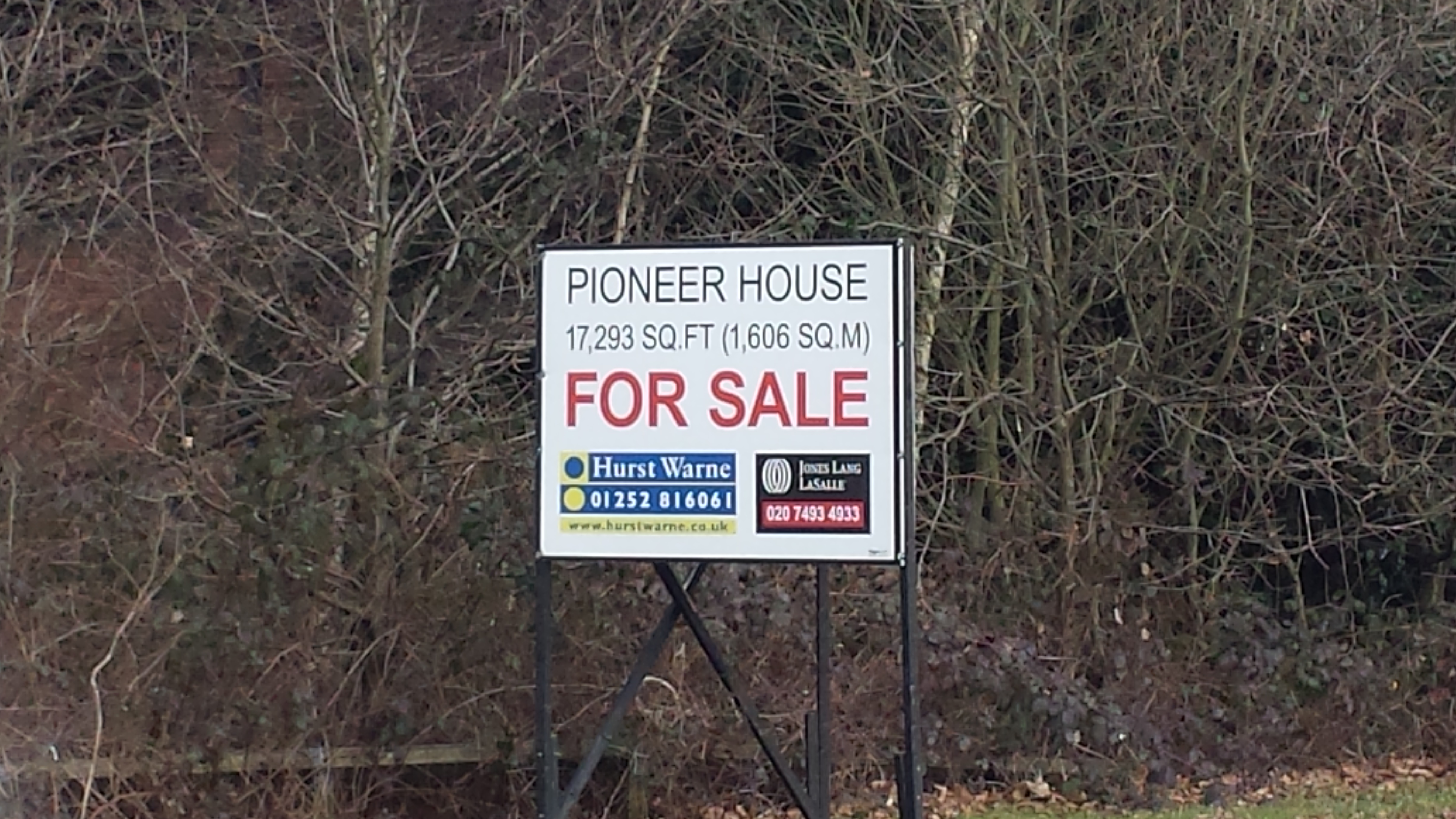
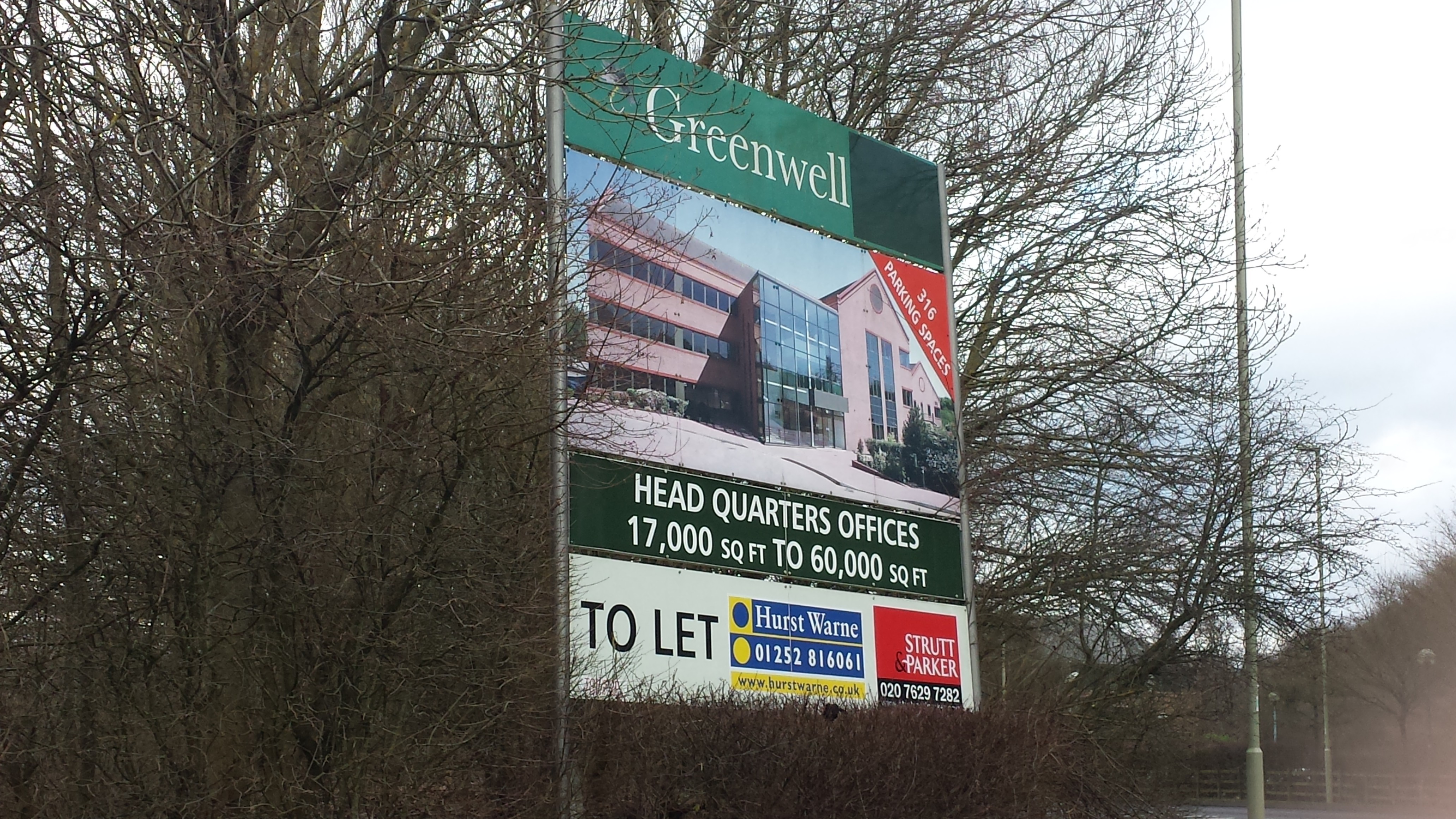
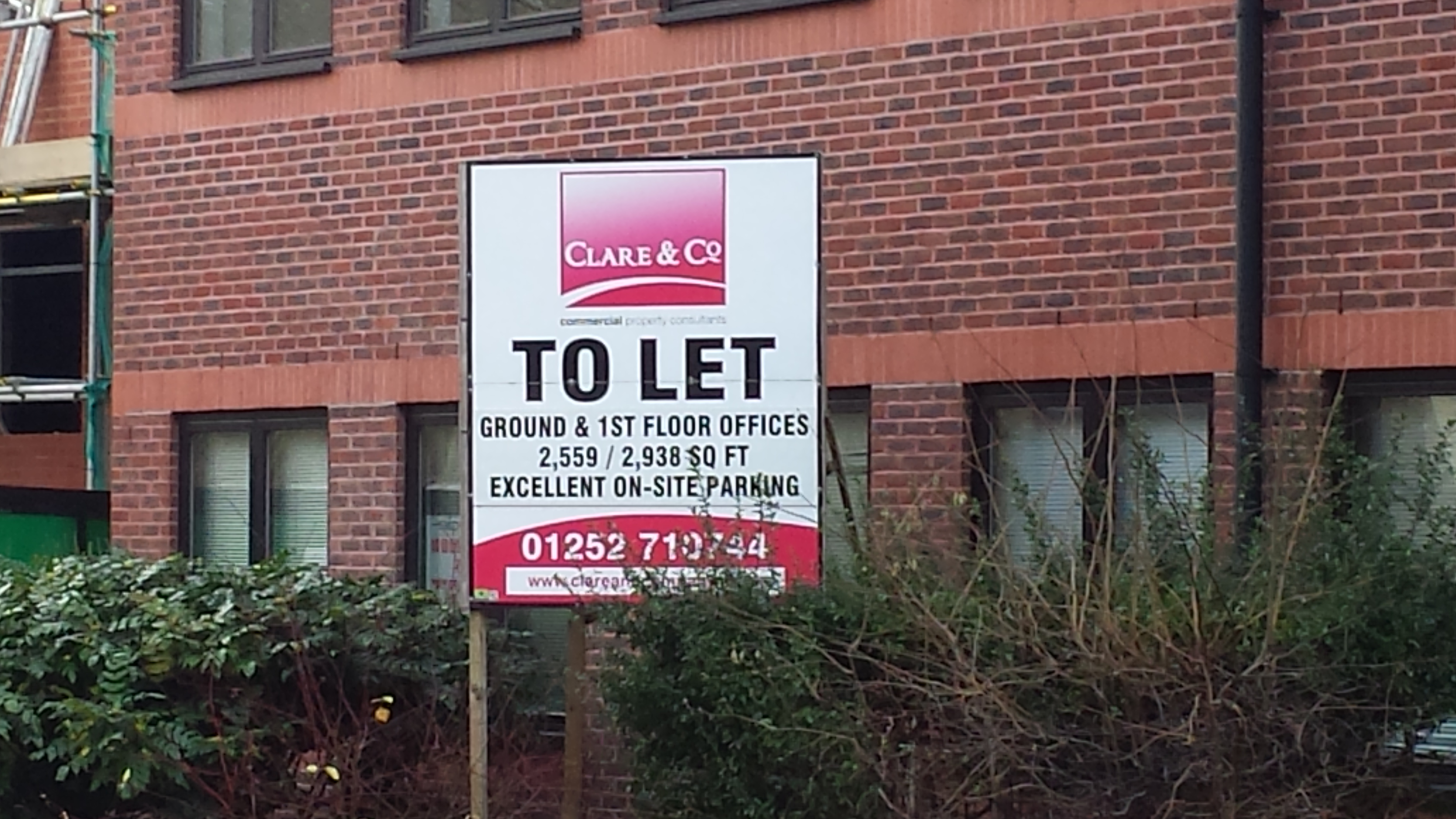
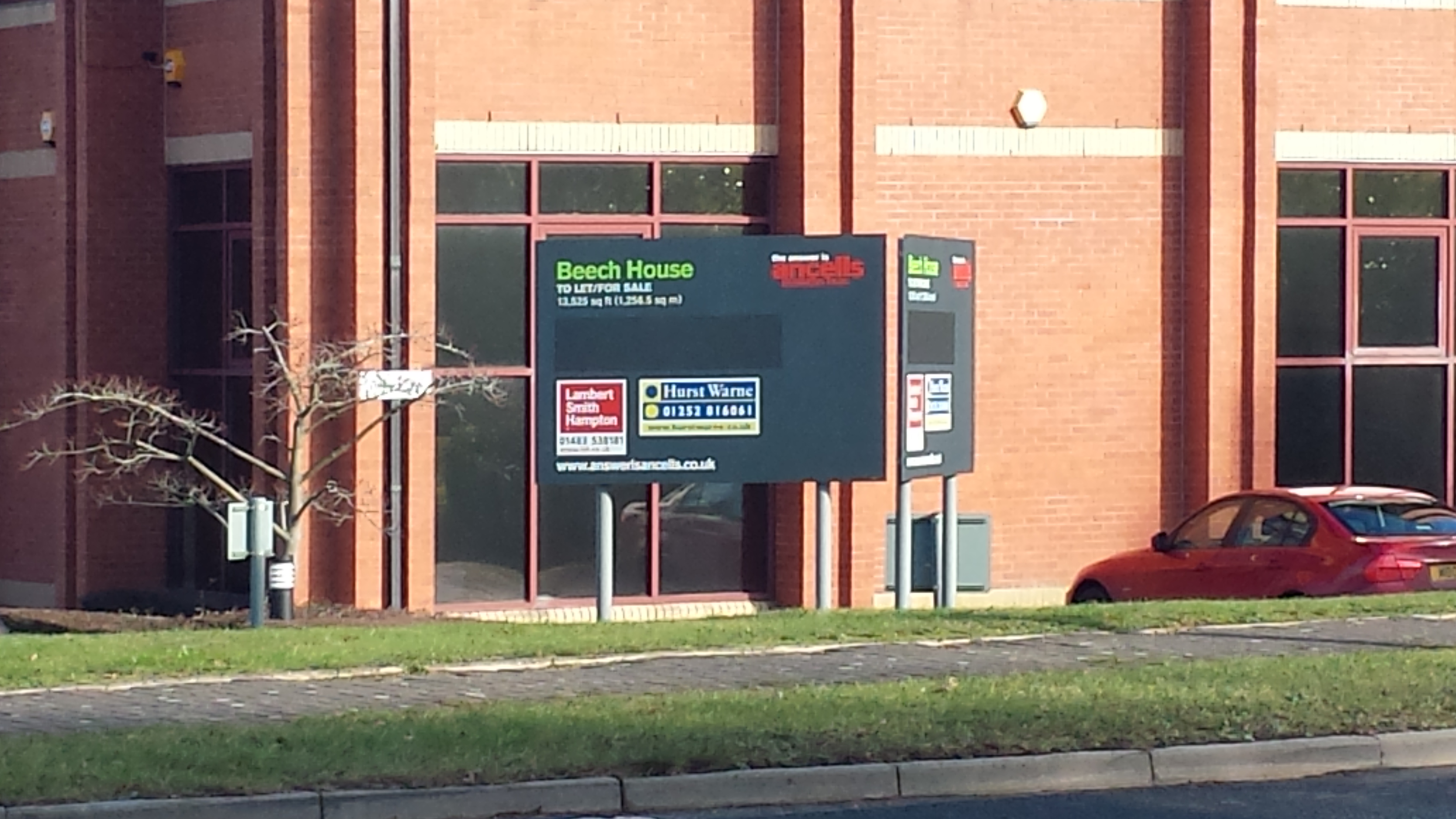
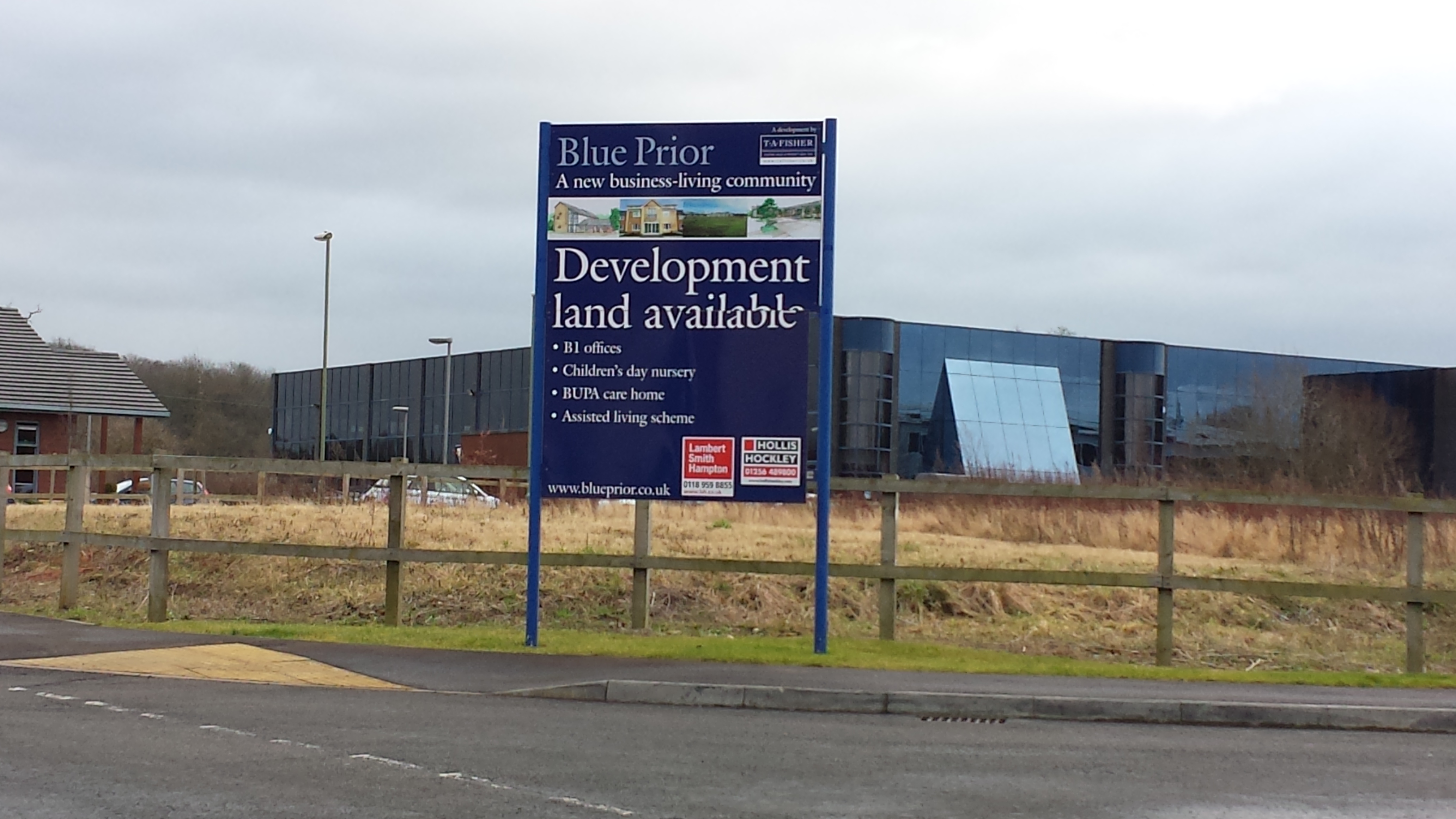
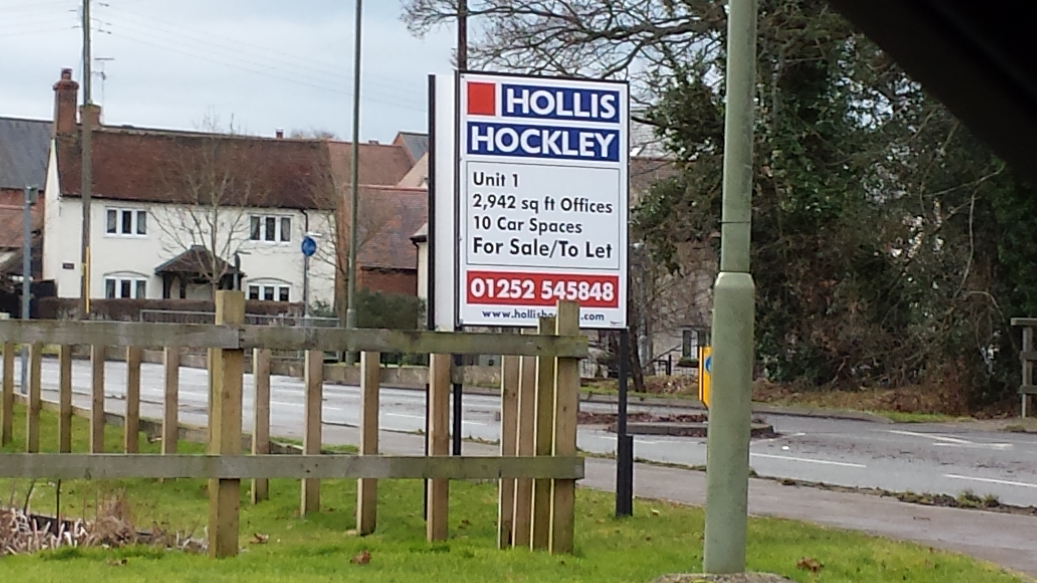
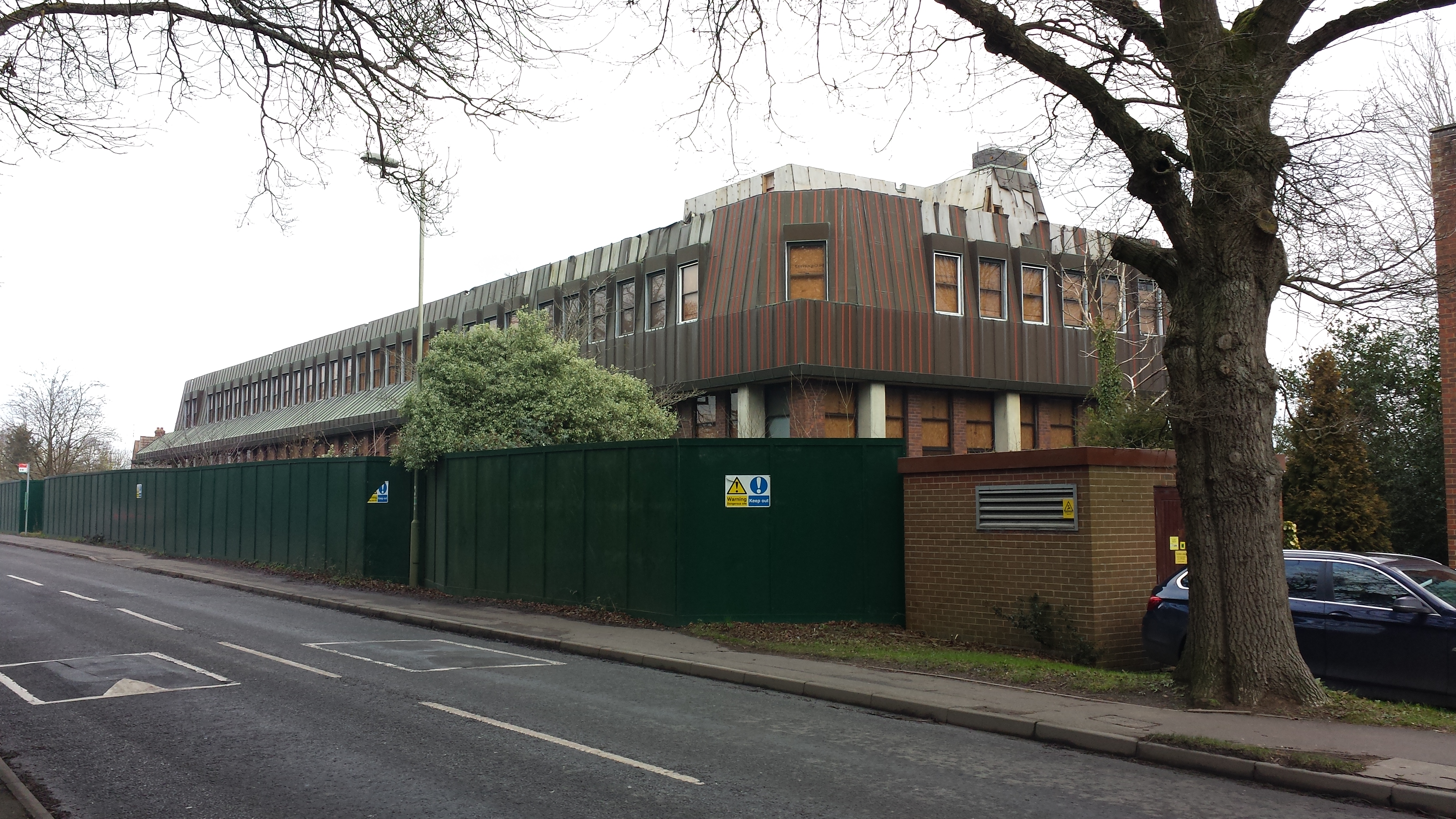
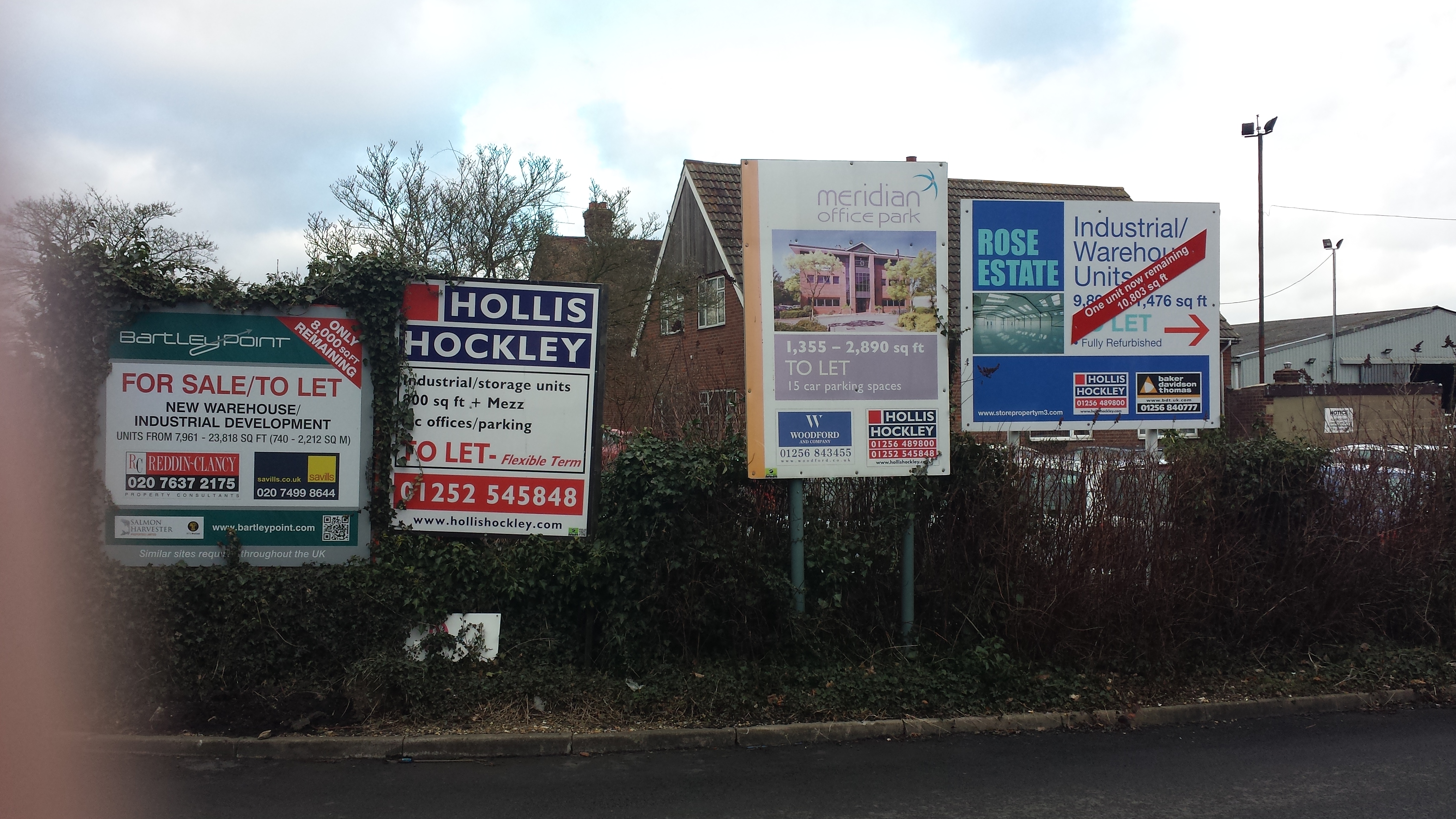
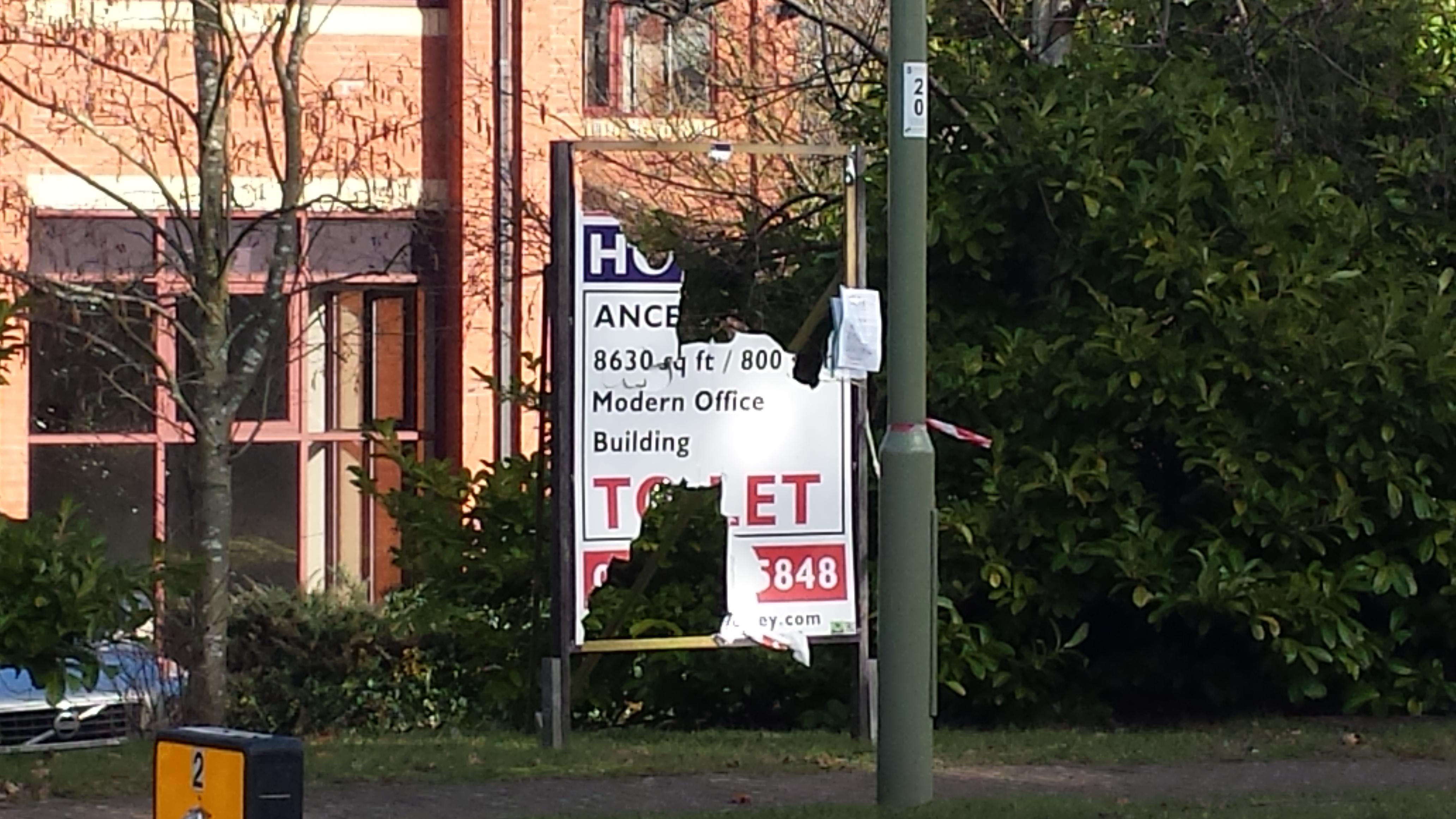
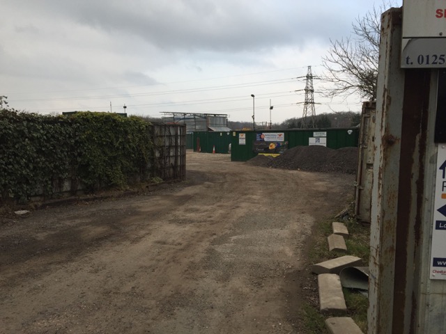
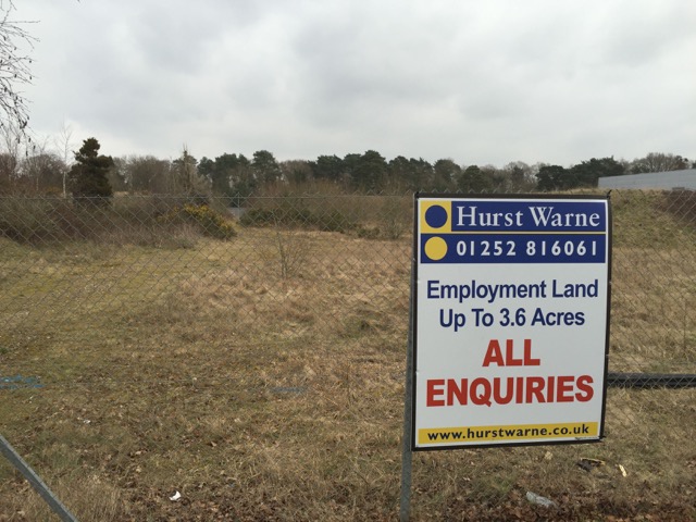
The article in Hart News also further illustrates that Hart is not serious about its brownfield strategy as they are continuing to ignore the large number of vacant office blocks and sites such as Sun Park and Hartland Park and are still assuming only 30 dwellings per hectare. Furthermore, they make no mention of the need to build specialist housing for our ageing population which a new town won’t deliver.

Finally, Hart Council were supposed to be consulting on the draft plan now, with a view to modifying it during the Summer before publication of the actual plan for a further round of consultation in the Autumn.  But now they have skipped one of the consultations.

We can only speculate as to the motives behind this mistake and the skipping of one round of consultation. However, it is difficult to avoid the conclusion that Hart District Council are hiding the truth, and trying to push through a disastrous strategy without proper consultation.

If you would like to oppose Hart’s approach to the Local Plan, please sign and share our petition:


Go to Petition


Impact of Housing Density on Hart Local Plan

Impact of Housing Density on Hart District Local Plan

Impact of Housing Density on Land Required for Hart Local Plan

This diagram shows the impact of the area of land required to meet the housing need of 7,534 houses in the Hart Local Plan.  Hart District Council use a rule of thumb of approximately 30 dwellings per hectare (dph) for new housing density.  However, the study by Gareth Price showed that in urban areas it is quite possible to create vibrant communities with housing densities of 250 dph.

Using Hart’s metric of 30dph would mean we would have to find around 251 hectares (621 acres) of land to meet the housing need.  Whereas if we were to build at a higher density of 250 dph on brownfield sites we would only need to find around 30 hectares of land (around 75 acres).  These approximate areas are shown in the red squares on the map above.

Interestingly, Hartland Park (aka Pyestock), near Fleet is a brownfield site of 119 acres which is larger than we need to meet our total housing requirement.

We have already posted lots of other brownfield sites such as Sun Park near the M3, Ancell’s Farm and the derelict buildings at the end of Fleet Road in Fleet and Bartley Wood in Hook, Hampshire.

This shows that with vision, creativity, energy and political will, we can meet our housing needs for decades to come by properly utilising brownfield land and have no need to concrete over our beautiful green fields by building a new town.

If you would like to join the campaign to ask Hart District Council to think again, please sign our petition:


Go to Petition


Hart has no Brownfield Strategy

We Heart Hart asked Hart District Council for an analysis of the brownfield sites that are available under FOI.  The results from this request are quite shocking and reveal a startling lack of focus on brownfield development.  Hart’s assertion was that there was space for only around 700 houses on brownfield sites.  According to their data, at first glance this appears to be true.  However, it appears as though a large number of the vacant brownfield sites identified by Bravehart on his tour do not even appear in the Hart District Council analysis. There must be space for thousands more dwellings on these sites such as the vacant office buildings at Ancells Farm and in Hook and Hartland Park (Pyestock).  Sun Park is on their map, but not in the analysis. Given undoubted difficulties facing all of us in Hart in building the >7,500 houses being forced upon us by the central Government mandated NPPF, it is shocking that Hart doesn’t seem to have a discernible brownfield strategy.

If you would like to join us to ask Hart to think again try harder to find brownfield development land and build on that in preference to concreting over our green spaces, please sign the We Love Hart petition.

Interestingly, the Government is planning to introduce legislation to penalise councils that under-perform on brownfield development. Under these plans, Councils would be required to publish data about available brownfield land on their websites in a standardised form, enabling individuals and groups to “assess and, if necessary, challenge the inclusion or exclusion of particular sites as brownfield land suitable for housing”.  Whilst of course, these rules have not come into force, it seems Hart does have a way to go to comply with the forthcoming rules.

Our analysis of the data supplied showed:

  • No systematic way if identifying brownfield sites: there is no tag on any of the data to separate brownfield sites from other sites.
  • Significant inconsistencies in their data such as sites being in their analysis spreadsheet that are not on the SHLAA map (e.g. Sites SHL319 and 321).
  • Sites recorded on the SHLAA map (e.g. SHL100) in one place (Sun Park) and recorded in their analysis as completely different places (Hartfordbridge).
  • Significant discrepancies between the detailed sheets and the summary of those detailed sheets.  For instance, Part 1, shows a total housing availability of between 612 and 701 houses, but on the summary sheet this shows as between 463 and 648.  Similar discrepancies exist throughout the spreadsheet.

It is time for Hart to focus more on identifying brownfield sites and applying pressure to get them made available. Surely, higher density development on these sites is far preferable to sacrificing our green spaces and putting at risk the very things that make Hart such a great place to live.

Images of brownfield sites in the district below:

Old Police Station in Fleet, Hart District, Hampshire

Old Police Station in Fleet, Hampshire

Vacant office in Hook, Hart District, Hampshire

Vacant office in Hook, Hampshire

Vacant office in Hook, Hart District, Hampshire

Vacant office in Hook, Hampshire

Derelict Offices in Fleet, Hampshire

Derelict Offices in Fleet, Hampshire

Vacant Block at Ancells Farm, Fleet, Hart District, Hampshire

Vacant Block at Ancells Farm, Fleet, Hart District, Hampshire

Vacant block at Bartley Wood in Hook, Hampshire

Bartley Wood Estate in Hook

Vacant block at Bartley Wood in Hook, Hampshire

Bartley Wood Estate in Hook

Derelict Offices in Fleet, Hampshire

Vacant Office in Fleet, Hampshire

Vacant Block at Ancells Farm, Fleet, Hampshire

Vacant Block at Ancells Farm, Fleet, Hampshire

Vacant Block at Ancells Farm, Fleet, Hampshire

Vacant Block at Ancells Farm, Fleet, Hampshire

Development Land in Fleet / Church Crookham, Hart District, Hampshire

Development Land in Fleet / Church Crookham, Hart District, Hampshire

Vacant Block in Fleet / Church Crookham, Hart District, Hampshire

Vacant Block in Fleet / Church Crookham, Hart District, Hampshire

Vacant, derelict brownfield site in Hook, Hampshire

Vacant, derelict block in Hook, Hampshire

Vacant offices in Hook, Hampshire

Vacant offices in Hook, Hampshire

Vacant Block at Ancells Farm, Fleet, Hampshire

Vacant block at Ancells Farm, Fleet

Vacant Sun Park block near J4A of M3, Hart District, Hampshire

Vacant Sun Park block near J4A of M3, Hart District, Hampshire

Hartland Park near Fleet, Hart District, Hampshire, warehouse development not started

Hartland Park near Fleet, Hart District, Hampshire, warehouse development not started


Vacant brownfield Block at Ancells Farm, Fleet, Hart District, Hampshire

Vacant Office at Ancells Farm, Fleet

Brownfield site near Crondall, Hart District, Hampshire

Brownfield site near Crondall, Hart District, Hampshire

Brownfield site at Hartland Park, Pyestock, Hart District, Hampshire

Brownfield site at Hartland Park, Pyestock, Hart District, Hampshire

Development site near Tweseldown, near Fleet/ Church Crookham, Hart District, Hampshire

Development site near Tweseldown, near Fleet/ Church Crookham, Hart District, Hampshire

Brownfield site at Hartland Park, Pyestock

Brownfield site at Pyestock, near, Fleet, Hart District, Hampshire