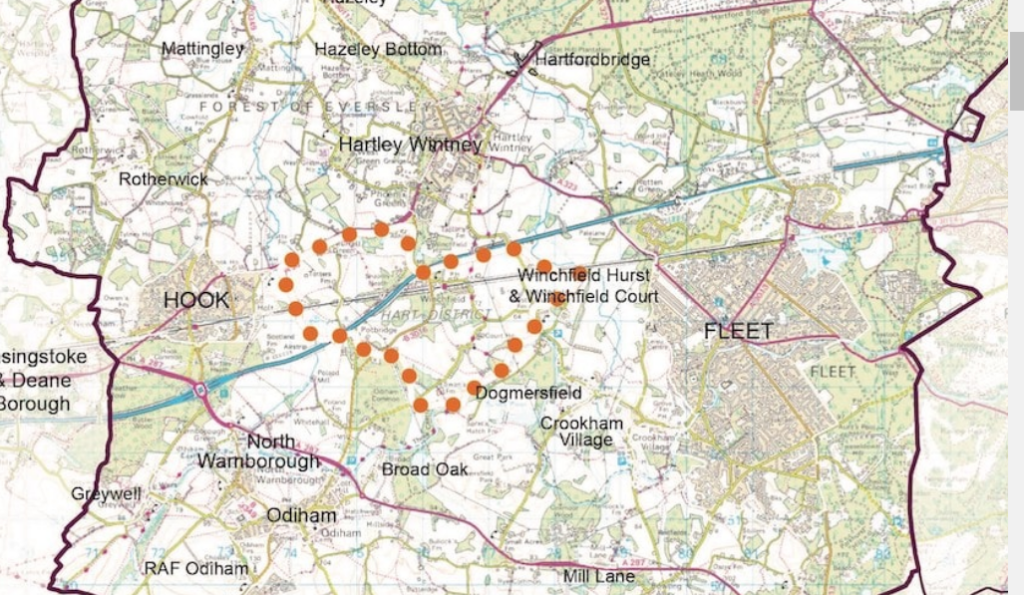
They say a picture paints a thousand words. However, sometimes, what’s missing from a picture can tell you more than what’s in it. As you may know, Hart has published a survey about the proposed Shapley Heath Garden Community. There is a map associated with the survey that is published on the dedicated Garden Community website.
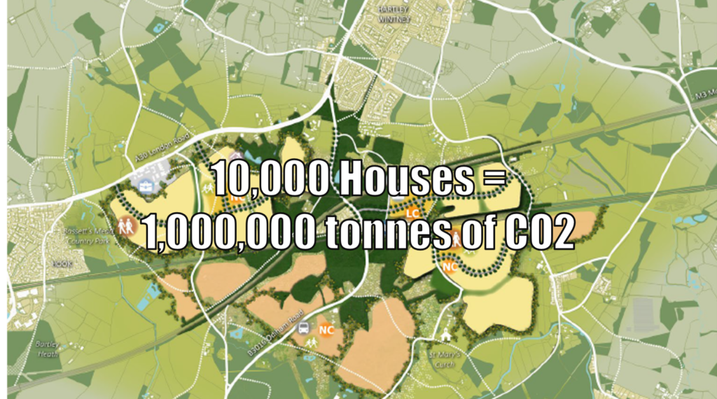
Note the soft boundaries, the warm orange dots and the attempt to make the boundary heart shaped, so you will subliminally love it. Of course the OS map on which it is based doesn’t include the Edenbrook development on the western Fleet boundary.
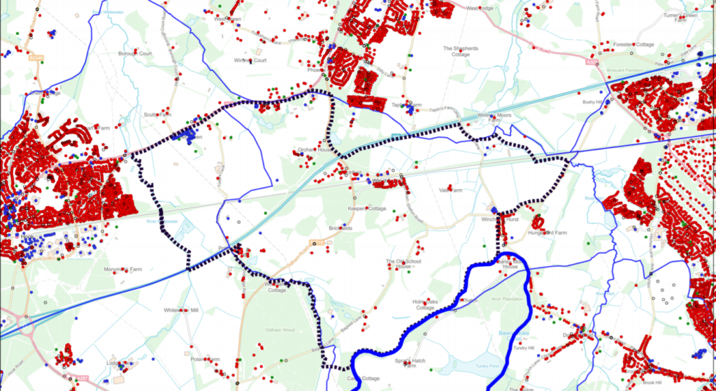
To combat this propaganda, Winchfield Parish Council has published some maps of its own, showing the impact of Shapley Heath should it ever go ahead. The first, at the top of this post, shows the potential coalescence with surrounding towns and villages. If they build in the NE zone, it will effectively join Fleet to Hartley Wintney. On the other hand, if they build in the NW, around Murrell Green, then it will coalesce Harley Wintney and Hook. If they build both sides, then effectively, Fleet, Hartley Wintney, Hook and the new town will become a single, large conurbation. We have previously termed this Hartley Winchook.
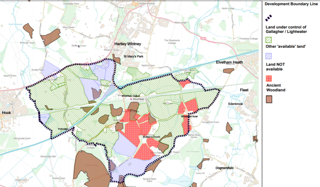
Shapley Heath Mapgate: Central Land Not Available
The next map shows land ownership in the area of search. The areas in green are under the control of the developers. Land that is potentially available to the developers – presumably not yet under option – is shown in blue. The red zone is land that is not and never will be under the control of the developers. Areas of ancient woodland, shown in brown, cannot be developed either.
As can be seen, there’s vast swathes of land in the area of search that cannot be developed. This means they have to build either in the NW area, the NE area or both. But none of those options allows for a single coherent settlement. All three options lead to coalescence.
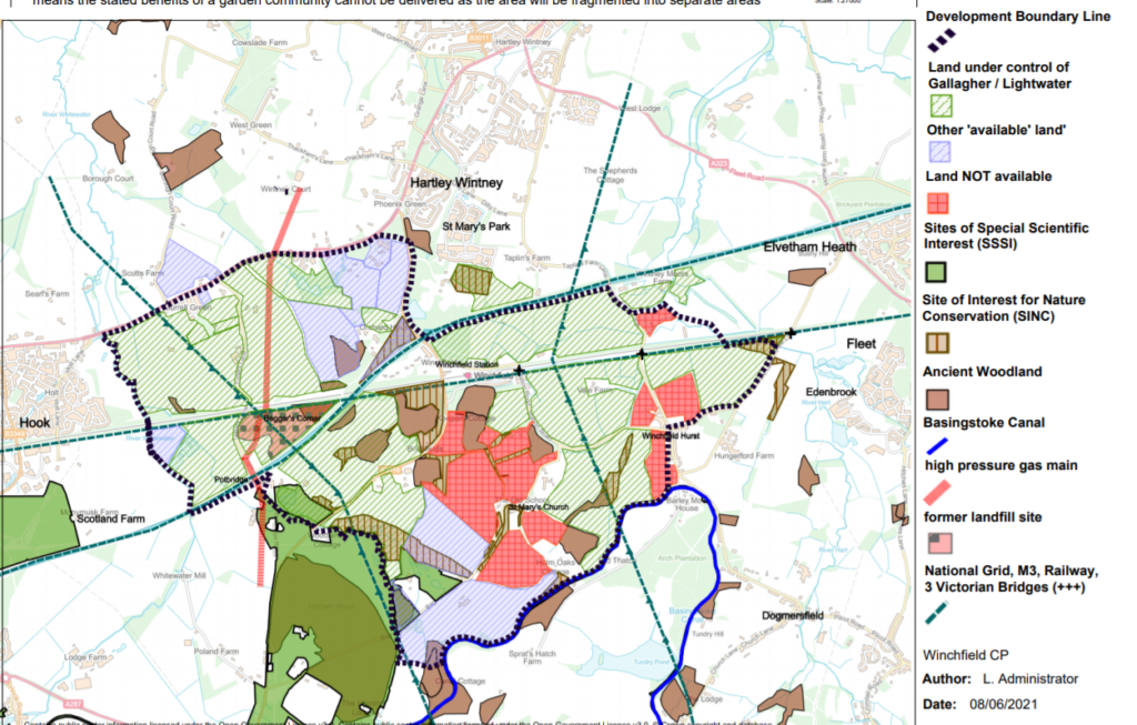
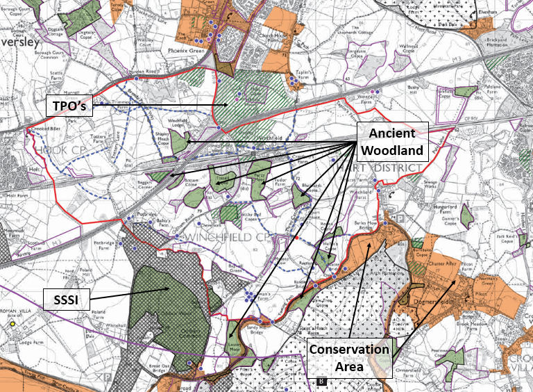
Shapley Heath Mapgate: Additional Constraints
However, the constraints don’t stop there. When you add on the additional environmental items such as the Sites of Importance for Nature Conservation (SINCs) and Sites of Special Scientific Interest (SSSIs), then the area becomes even more constrained. The physical constraints of the high-voltage electricity pylons, the high pressure gas main, the M3, railway line and the former landfill all add further restrictions on what is safe or sensible to develop.
Conclusion
If you display an anodyne map to the general population, they will form one view of the site under consideration. When faced with maps that actually convey real information, then perceptions can change markedly. We wonder why Hart Council aren’t taking more heed of the Inspector’s words when he examined plans for a new town in the same area as part of the Local Plan (our emphasis):
I have a number of fundamental concerns with regard to the soundness of Policy SS3.
There is little evidence to demonstrate that a site can actually be delivered in terms of infrastructure, viability and landownership within the identified AoS.
Policy SS3 is not required for the Plan to be sound and, in light of my comments above, I consider that the most appropriate course of action would be to remove it (along with any other necessary subsequent changes) from the Plan.
I am also mindful that following further work, there can be no guarantee that the evidence would support it as the most appropriate long-term growth strategy or that Policy SS3 would be found sound.
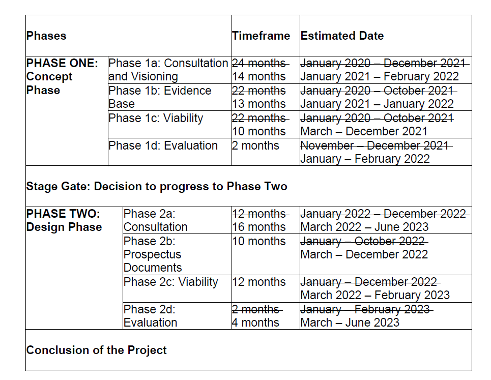
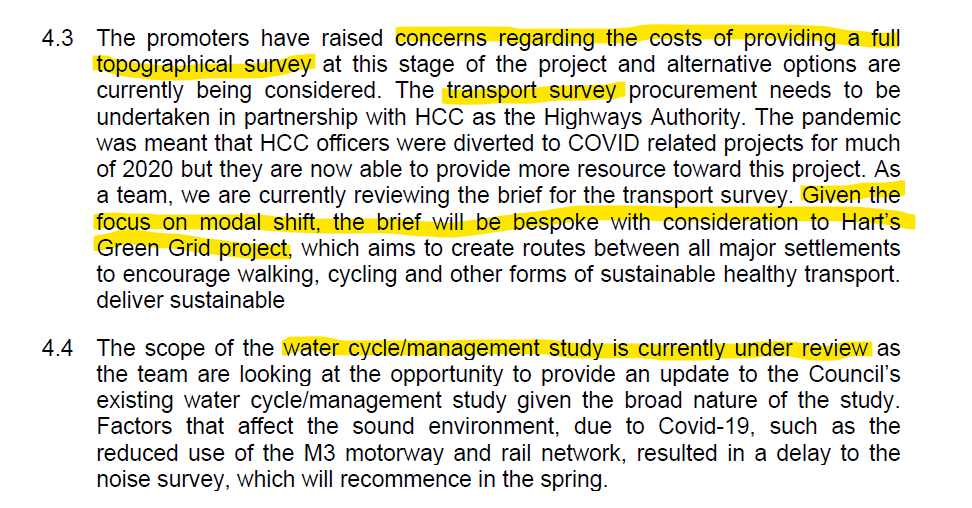
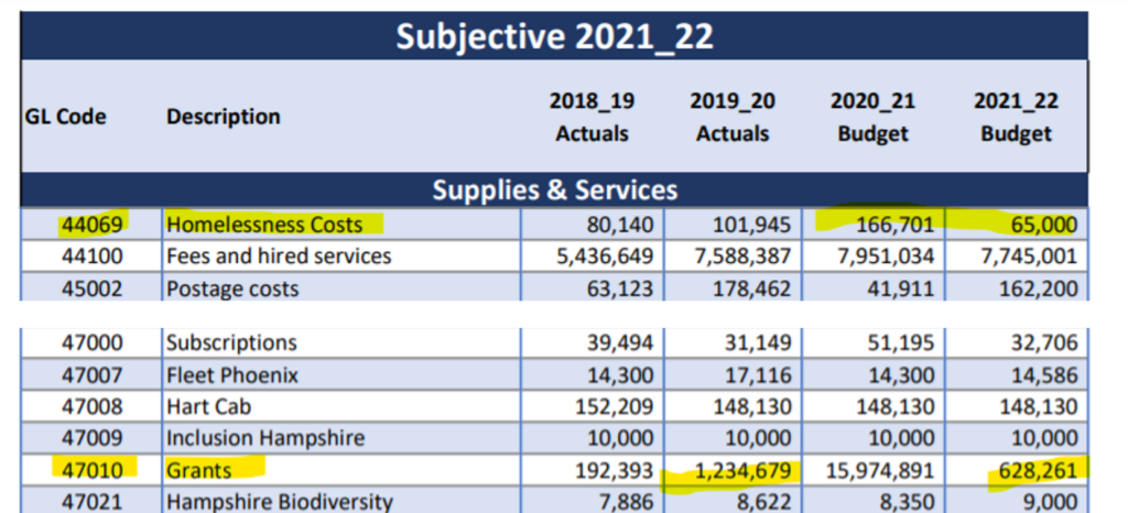
All of these issues are known, yet the Council is pressing on spending money they don’t have, on a project we don’t need and probably won’t work anyway.
Having read this article, you might like to respond to the Shapley Heath survey. This is your chance to make known your concerns about the proposals. We have produced a handy guide with suggestions as to how you might choose to answer the freeform questions. The guide can be found on the download below. The full survey can be found here.

