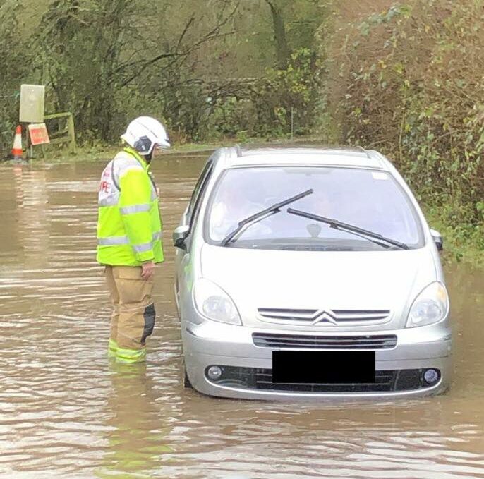
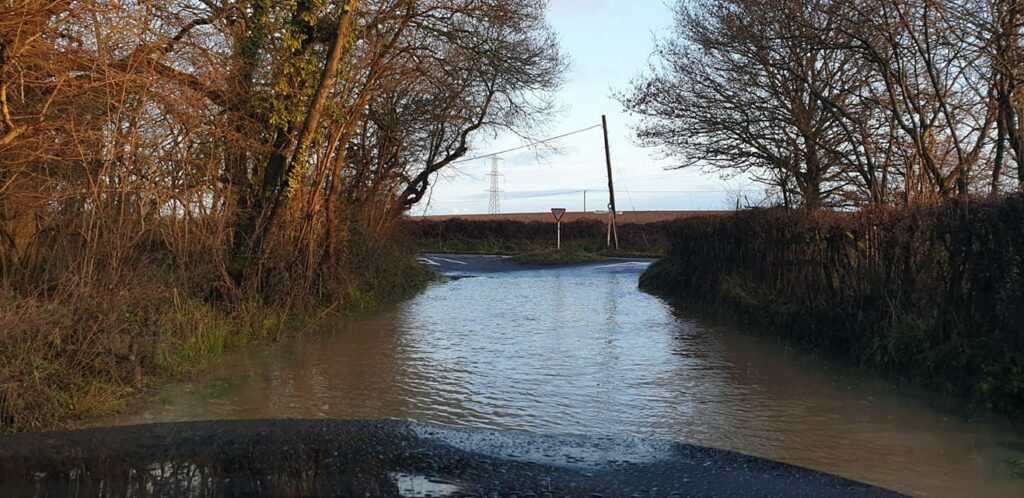
The Christmas season has been marred by another Winchfield flood. The picture above comes from Hartley Wintney Fire Station. Of course this is not the first time it has flooded on Taplins Farm Lane, under the railway bridge. We have recorded flood events on 4 February 2019, in April 2018 and three times in 2016 alone. Evidence documenting the 2016 flood events can be found here (4 Jan) , here (7 Jan), here (9 March on Station Road) and here (28 March due to #StormKatie).
[Update] Bagwell Lane also flooded [/Update]
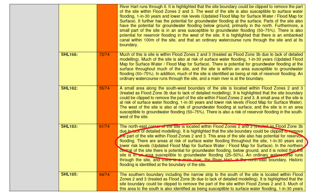
It seems that the actual weather is stubbornly refusing to comply with the flood assessment carried out for Hart Council as part of its evidence base for the Local Plan. The sustainability assessment claimed:
There was some evidence of wet ground at the far east of SHL183, but “no other obvious evidence of current or past flooding”.
The detailed assessment also said there’s only a one in 30 year chance of surface water flooding.
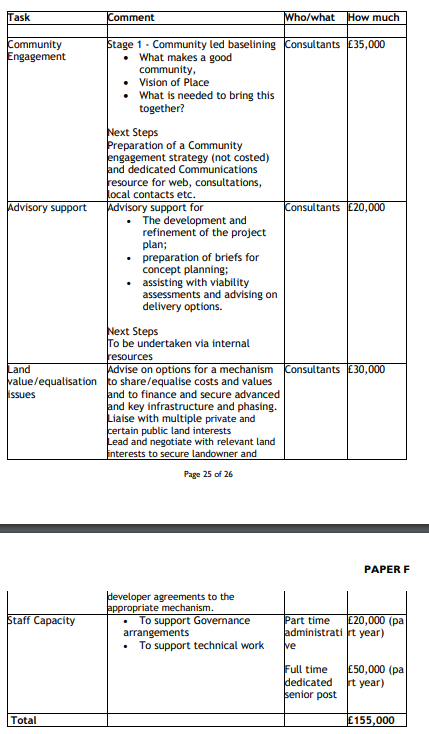
Taplins Farm Lane is in the middle of the proposed Shapley Heath development. The proposal to spend £150-650K of taxpayer funds does not include any work to assess or mitigate flood risk.
Let us hope for a more sensible approach in the New Year. We plan to come forward with some alternative ideas for a review of the Local Plan. These will mean we avoid a new settlement anywhere in Hart, and won’t need large urban extensions either to at least 2041. Plus we get improved facilities in our urban centres.
We wish all our readers a very Merry Christmas and a Happy New Year.


